File:Isla de Tavira (Portugal) (21936968966).jpg

Original file (2,146 × 1,534 pixels, file size: 1.63 MB, MIME type: image/jpeg)
Captions
Captions
Summary edit
_(21936968966).jpg&action=edit§ion=1)
| Description |
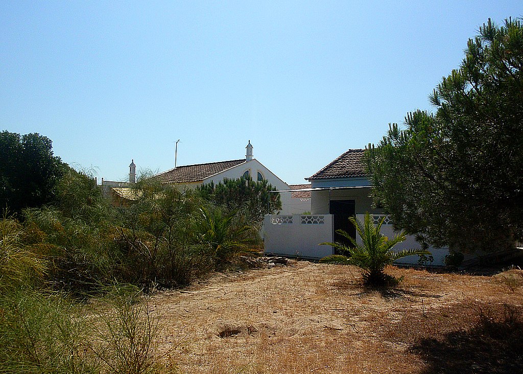
Tavira Island (Portugal) Ilha de Tavira (Portugal) Isla de Tavira (en portugués: Ilha de Tavira1 ) es una isla de arena de unos 11 km de largo, situada a lo largo de la costa de Algarve, al sur de la ciudad de Tavira, y que es parte del Parque Natural de la Ría Formosa (Parque Natural da Ria Formosa). Sus playas son frecuentadas por los turistas, especialmente durante el verano, su alta calidad ambiental está certificada anualmente con una Bandera Azul ( un distintivo que otorga anualmente la Fundación Europea de Educación Ambiental a las playas). Los pequeños canales y esteros de la Ría Formosa adyacentes a la isla son lugares excelentes para observar y estudiar las aves marinas. Como infraestructuras de apoyo para el turismo de la isla esta cuenta con un parque para acampar y de concesiones playeras en la temporada vacacional. El acceso es hecho a través de barcos que salen de Tavira y el muelle de las cuatro aguas (Quatro Águas), o hecho a pie a través de un puente que se encuentra cerca de la localidad turística de Piedras del Rey (Pedras D'el Rei) La isla cuenta con cuatro playas. De este a oeste, nos encontramos con la primera playa en la isla de Tavira ( Praia da Ilha de Tavira o simplemente playa Tavira ), seguido de Playa Tierra Estrecha (Praia da Terra Estreita), la playa del Barril (Praia do Barril) y la playa del hombre desnudo (Praia do Homem Nu). En la mayor parte de la isla, lejos de las concesiones se tolera, el nudismo, y en la región occidental de la playa del Barril el Naturismo es legal.
|
| Date | |
| Source | Isla de Tavira (Portugal) |
| Author | Jose A. |
| Camera location | | View this and other nearby images on: OpenStreetMap |
|---|
_(21936968966).jpg¶ms=037.113651_N_-007.623310_E_globe:Earth_type:camera_source:Flickr_&language=en)
Licensing edit
_(21936968966).jpg&action=edit§ion=2)
- You are free:
- to share – to copy, distribute and transmit the work
- to remix – to adapt the work
- Under the following conditions:
- attribution – You must give appropriate credit, provide a link to the license, and indicate if changes were made. You may do so in any reasonable manner, but not in any way that suggests the licensor endorses you or your use.
| This image was originally posted to Flickr by sky_hlv at https://flickr.com/photos/91124353@N05/21936968966. It was reviewed on 21 October 2015 by FlickreviewR and was confirmed to be licensed under the terms of the cc-by-2.0. |
File history
Click on a date/time to view the file as it appeared at that time.
| Date/Time | Thumbnail | Dimensions | User | Comment | |
|---|---|---|---|---|---|
| current | 08:00, 12 October 2020 | | 2,146 × 1,534 (1.63 MB) | Ajpvalente (talk | contribs) | Cropped 2 % horizontally, 2 % vertically using CropTool with precise mode. |
| 21:27, 16 January 2016 |  | 2,183 × 1,571 (1.75 MB) | Ajpvalente (talk | contribs) | Cropped 3 % vertically using CropTool with lossless mode. | |
| 14:38, 16 January 2016 |  | 2,183 × 1,612 (1.74 MB) | ديفيد عادل وهبة خليل 2 (talk | contribs) | Removed border by cropping 2 % horizontally and 4 % vertically using CropTool with precise mode. | |
| 01:26, 21 October 2015 |  | 2,236 × 1,676 (1.88 MB) | Tm (talk | contribs) | Transferred from Flickr via Flickr2Commons |
You cannot overwrite this file.
File usage on Commons
There are no pages that use this file.
_(21936968966).jpg&oldid=732302555)