File:Israel Marshall Islands Locator.png
No higher resolution available.
Israel_Marshall_Islands_Locator.png (734 × 600 pixels, file size: 96 KB, MIME type: image/png)
Captions
Captions
Add a one-line explanation of what this file represents
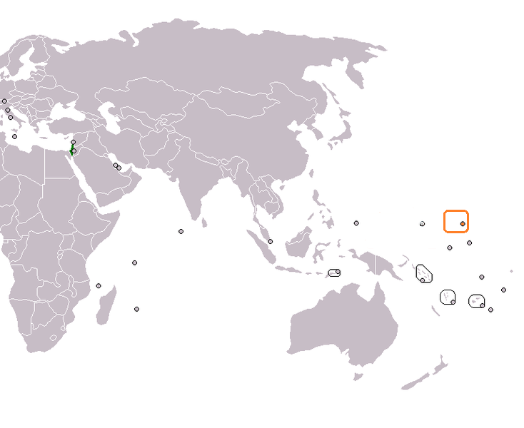
| Description | Locator map for Israel and the Marshall Islands. Adapted from Wikipedia blank world map (as per standard for articles on bilateral relations). | ||
| Date | (UTC) | ||
| Source | https://en.wikipedia.org/wiki/File:Israel_Marshall_Islands_Locator.png | ||
| Author | en:User:1Martin33 | ||
| Permission (Reusing this file) |
|
File history
Click on a date/time to view the file as it appeared at that time.
| Date/Time | Thumbnail | Dimensions | User | Comment | |
|---|---|---|---|---|---|
| current | 12:47, 9 September 2013 | | 734 × 600 (96 KB) | Amirki (talk | contribs) | {{Information |Description=Locator map for Israel and the Marshall Islands. Adapted from Wikipedia blank world map (as per standard for articles on bilateral relations). |Source=https://en.wikipedia.org/wiki/File:Israel_Marshall_Islands_Locator.png |Da... |
You cannot overwrite this file.
File usage on Commons
There are no pages that use this file.
File usage on other wikis
The following other wikis use this file:
- Usage on en.wikipedia.org
- Usage on es.wikipedia.org
- Usage on id.wikipedia.org
- Usage on it.wikipedia.org
- Usage on ru.wikipedia.org
- Usage on www.wikidata.org