File:Iss040e027042.jpeg
Size of this preview: 800 × 531 pixels. Other resolutions: 320 × 212 pixels | 640 × 425 pixels | 1,024 × 680 pixels | 1,280 × 850 pixels | 2,560 × 1,699 pixels | 4,310 × 2,861 pixels.
Original file (4,310 × 2,861 pixels, file size: 8.52 MB, MIME type: image/jpeg)
Captions
Captions
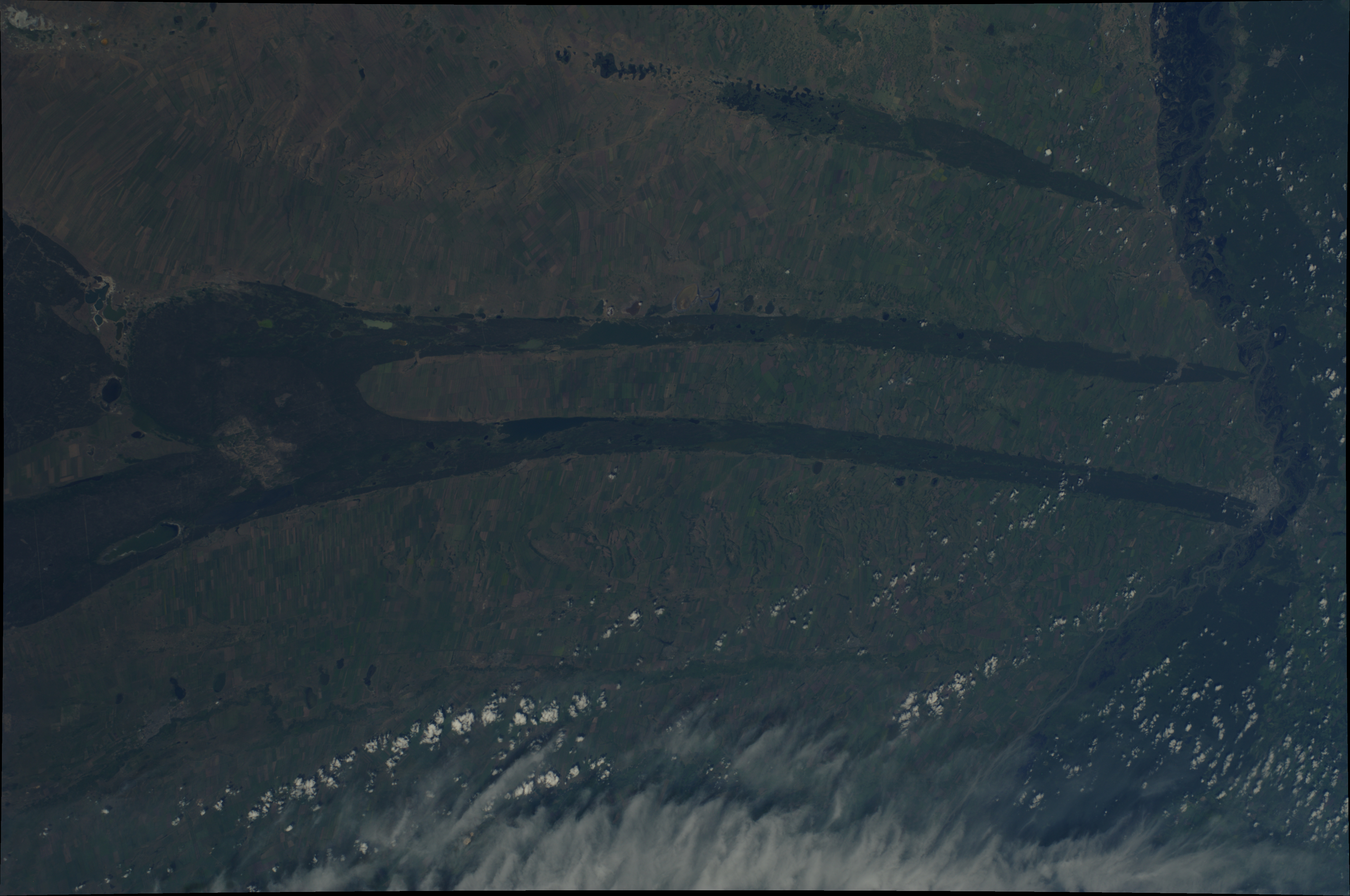
Ob Plateau
Summary
edit
| Camera location | | View this and other nearby images on: OpenStreetMap |
|---|
| Description |
English: Ob Plateau; RUSSIAN FEDERATION, OB R. |
| Date | |
| Source | http://eol.jsc.nasa.gov/SearchPhotos/photo.pl?mission=ISS040&roll=E&frame=27042 |
| Author |
English: NASA |
Licensing
edit
| This file is in the public domain in the United States because it was solely created by NASA. NASA copyright policy states that "NASA material is not protected by copyright unless noted". (See Template:PD-USGov, NASA copyright policy page or JPL Image Use Policy.) | ||
 |
Warnings:
|
File history
Click on a date/time to view the file as it appeared at that time.
| Date/Time | Thumbnail | Dimensions | User | Comment | |
|---|---|---|---|---|---|
| current | 13:57, 24 June 2015 | | 4,310 × 2,861 (8.52 MB) | NasaEolBot (talk | contribs) | =={{int:filedesc}}== {{Location|52.5|81.5}} {{Information |description={{en|RUSSIAN FEDERATION, KULUNDA STEPPE, FOLDED ROCKS, OB R.}} |date=2014-06-30 00:00:00 |source=http://eol.jsc.nasa.gov/SearchPhotos/photo.pl?mission=ISS040&roll=E&frame=27042 |aut... |
You cannot overwrite this file.
File usage on Commons
There are no pages that use this file.