File:Itä-Tuira Oulu 20220327.jpg

Size of this preview: 800 × 227 pixels. Other resolutions: 320 × 91 pixels | 640 × 181 pixels | 1,024 × 290 pixels | 1,280 × 363 pixels | 2,560 × 726 pixels | 11,000 × 3,119 pixels.
Original file (11,000 × 3,119 pixels, file size: 6.04 MB, MIME type: image/jpeg)
Captions
Captions
Add a one-line explanation of what this file represents
Summary
edit
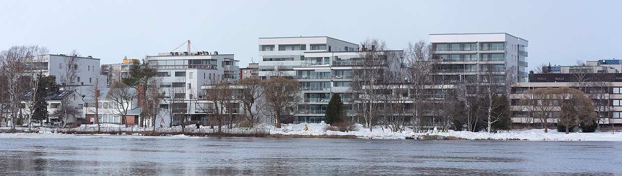
| Description |
Suomi: Oulun Itä-Tuiraa.
English: A view of the East Tuira nieghbourhood in Oulu. |
| Date | Taken on 27 March 2022 |
| Source | Own work |
| Author | Estormiz |
| Camera location | | View this and other nearby images on: OpenStreetMap |
|---|
Licensing
edit
I, the copyright holder of this work, hereby publish it under the following license:
| This file is made available under the Creative Commons CC0 1.0 Universal Public Domain Dedication. | |
| The person who associated a work with this deed has dedicated the work to the public domain by waiving all of their rights to the work worldwide under copyright law, including all related and neighboring rights, to the extent allowed by law. You can copy, modify, distribute and perform the work, even for commercial purposes, all without asking permission.
|
File history
Click on a date/time to view the file as it appeared at that time.
| Date/Time | Thumbnail | Dimensions | User | Comment | |
|---|---|---|---|---|---|
| current | 16:44, 10 April 2022 | 11,000 × 3,119 (6.04 MB) | Estormiz (talk | contribs) | Uploaded own work with UploadWizard |
You cannot overwrite this file.
File usage on Commons
The following page uses this file: