File:Italia regioni color.png

Size of this preview: 476 × 600 pixels. Other resolutions: 190 × 240 pixels | 381 × 480 pixels | 610 × 768 pixels | 1,056 × 1,330 pixels.
Original file (1,056 × 1,330 pixels, file size: 136 KB, MIME type: image/png)
Captions
Captions
Add a one-line explanation of what this file represents

|
This locator map image could be re-created using vector graphics as an SVG file. This has several advantages; see Commons:Media for cleanup for more information. If an SVG form of this image is available, please upload it and afterwards replace this template with
{{vector version available|new image name}}.
It is recommended to name the SVG file “Italia regioni color.svg”—then the template Vector version available (or Vva) does not need the new image name parameter. |
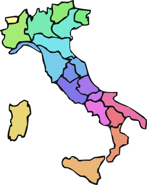
| Description | Italy divided into regions | ||||||||
| Date | |||||||||
| Source | Image:Italia regioni blank.png emended | ||||||||
| Author | Paolos | ||||||||
| Permission (Reusing this file) |
|

File history
Click on a date/time to view the file as it appeared at that time.
| Date/Time | Thumbnail | Dimensions | User | Comment | |
|---|---|---|---|---|---|
| current | 14:10, 24 November 2007 | | 1,056 × 1,330 (136 KB) | Sinigagl (talk | contribs) | {{Information| |Description= Italy divided into regions |Source= Image:Italia regioni blank.png emended |Date= 24/11/2007 |Author= Paolos |Permission= {{GFDL}} |other_versions= }} Category:Maps of Italy |
You cannot overwrite this file.
File usage on Commons
There are no pages that use this file.
File usage on other wikis
The following other wikis use this file:
- Usage on de.wikipedia.org
- Usage on it.wikipedia.org
- Usage on it.wiktionary.org