File:Italy Emilia-Romagna location map.svg

Size of this PNG preview of this SVG file: 800 × 425 pixels. Other resolutions: 320 × 170 pixels | 640 × 340 pixels | 1,024 × 544 pixels | 1,280 × 680 pixels | 2,560 × 1,359 pixels | 906 × 481 pixels.
Original file (SVG file, nominally 906 × 481 pixels, file size: 514 KB)
Captions
Captions
Add a one-line explanation of what this file represents
Summary edit
| Description |
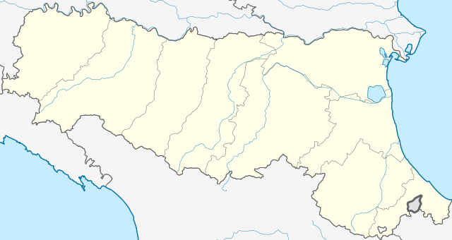
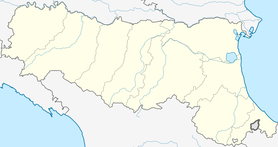
Deutsch: Positionskarte von Emilia-Romagna (Italien) English: Location map of Emilia-Romagna region (Italy) Español: Mapa de localización de la Región de Emilia-Romaña (Italia).
Equirectangular projection, N/S stretching 115 %. Geographic limits of the map:
|
| Date | |
| Source |
This file was derived from: |
| Author |
Licensing edit
I, the copyright holder of this work, hereby publish it under the following licenses:

|
Permission is granted to copy, distribute and/or modify this document under the terms of the GNU Free Documentation License, Version 1.2 or any later version published by the Free Software Foundation; with no Invariant Sections, no Front-Cover Texts, and no Back-Cover Texts. A copy of the license is included in the section entitled GNU Free Documentation License. |
This file is licensed under the Creative Commons Attribution-Share Alike 3.0 Unported license.
- You are free:
- to share – to copy, distribute and transmit the work
- to remix – to adapt the work
- Under the following conditions:
- attribution – You must give appropriate credit, provide a link to the license, and indicate if changes were made. You may do so in any reasonable manner, but not in any way that suggests the licensor endorses you or your use.
- share alike – If you remix, transform, or build upon the material, you must distribute your contributions under the same or compatible license as the original.
You may select the license of your choice.
File history
Click on a date/time to view the file as it appeared at that time.
| Date/Time | Thumbnail | Dimensions | User | Comment | |
|---|---|---|---|---|---|
| current | 12:18, 22 May 2013 | | 906 × 481 (514 KB) | Milenioscuro (talk | contribs) | User created page with UploadWizard |
You cannot overwrite this file.
File usage on Commons
The following page uses this file:
File usage on other wikis
The following other wikis use this file:
- Usage on als.wikipedia.org
- Usage on ar.wikipedia.org
- Usage on azb.wikipedia.org
- مودنا
- ویلا مینوتزو
- ویقولتسونه
- ویقارانو مایناردا
- تراوو
- تراورزتولو
- ویانو
- ووقیرا
- تالاملو
- پیوهپلاقو
- وروچیو
- پیوه دی چنتو
- ورنو دئ ملقری
- ورنسکا
- پیوتسانو
- ورقرتو
- ورقتو
- ورسی
- کونکوردیا سولا سکیا
- وتو (امیلیا-رومانیا)
- کونزلیچه
- وتسانو سول کروستولو
- کومپیانو
- کوماچیو
- کاسالقرانده
- کاسالفیومانزه
- کولی (امیلیا-رومانیا)
- پیانورو
- پیانلو وال تیدونه
- والموتزولا
- کولورنو
- پیاچنزا
- پویلیو
- کولچیو
- کولانیا
- کازالکیو دی رنو
- پونته دلاولیو
- پونتنوره
- کوریانو
- نیبیانو
- کورنیلیو
- پولیناقو
- نویانو دلی آردوینی
- نوی دی مودنا
- نوولارا
- نونانتولا
- کارپینتی
- کارپی (مودنا)
View more global usage of this file.