File:Italy Trentino-South Tyrol location map.svg

Size of this PNG preview of this SVG file: 558 × 512 pixels. Other resolutions: 262 × 240 pixels | 523 × 480 pixels | 837 × 768 pixels | 1,116 × 1,024 pixels | 2,232 × 2,048 pixels.
Original file (SVG file, nominally 558 × 512 pixels, file size: 299 KB)
Captions
Captions
Add a one-line explanation of what this file represents
Summary
edit| Description |
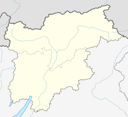
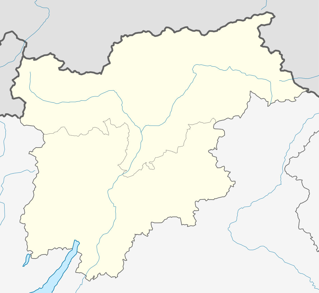
Deutsch: Positionskarte von Trentino-Südtirol (Italien) English: Location map of Trentino-South Tyrol region (Italy) Español: Mapa de localización de la Región de Trentino-Alto Adigio (Italia).
Equirectangular projection, N/S stretching 115 %. Geographic limits of the map:
|
| Date | |
| Source |
This file was derived from: |
| Author | |
| Other versions |
|

Licensing
edit
I, the copyright holder of this work, hereby publish it under the following licenses:

|
Permission is granted to copy, distribute and/or modify this document under the terms of the GNU Free Documentation License, Version 1.2 or any later version published by the Free Software Foundation; with no Invariant Sections, no Front-Cover Texts, and no Back-Cover Texts. A copy of the license is included in the section entitled GNU Free Documentation License. |
This file is licensed under the Creative Commons Attribution-Share Alike 3.0 Unported license.
- You are free:
- to share – to copy, distribute and transmit the work
- to remix – to adapt the work
- Under the following conditions:
- attribution – You must give appropriate credit, provide a link to the license, and indicate if changes were made. You may do so in any reasonable manner, but not in any way that suggests the licensor endorses you or your use.
- share alike – If you remix, transform, or build upon the material, you must distribute your contributions under the same or compatible license as the original.
You may select the license of your choice.
File history
Click on a date/time to view the file as it appeared at that time.
| Date/Time | Thumbnail | Dimensions | User | Comment | |
|---|---|---|---|---|---|
| current | 22:21, 25 May 2013 | | 558 × 512 (299 KB) | Milenioscuro (talk | contribs) | User created page with UploadWizard |
You cannot overwrite this file.
File usage on Commons
The following page uses this file:
File usage on other wikis
The following other wikis use this file:
- Usage on als.wikipedia.org
- Usage on ar.wikipedia.org
- Usage on be.wikipedia.org
- Карцана
- Андрыяна
- Антэрыва
- Ап’яна-сула-Страда-дэль-Віна
- Авеленга
- Барб’яна
- Браес
- Кайнес
- Кастэльбела-Чыярдэс
- Кастэльрота
- Чэрмес
- К’енес
- К’юза
- Карнеда-ал’ізарка
- Картына-сула-Страда-дэль-Віна
- Карвара-ін-Бадзія
- Даб’яка
- Энья
- Фіе-ала-Шыліяр
- Фартэцца
- Фунес (Італія)
- Гаргаццонэ
- Гларэнца
- Лаўрэньё
- Лузон
- Магрэ-сула-Страда-дэль-Віна
- Малес-Веноста
- Марэбэ
- Мартэла (Італія)
- Мельціна
- Мангуельфа-Тэзіда
- Мантан’я (Італія)
- Налес
- Натурна
- Нац-Шыявес
- Нова-Левантэ
- Нова-Панентэ
- Ора (правінцыя Бальцана)
- Артызей
- Парчынес
- Перка
- Плаўс
- Понтэ-Гардэна
- Пасталь
- Прата-ала-Стэльвіа
- Прэдой
- Провес
- Рэнон
View more global usage of this file.