File:Italy relief location map-2.png
Size of this preview: 477 × 599 pixels. Other resolutions: 191 × 240 pixels | 382 × 480 pixels | 611 × 768 pixels | 1,034 × 1,299 pixels.
Original file (1,034 × 1,299 pixels, file size: 2.23 MB, MIME type: image/png)
Captions
Captions
Add a one-line explanation of what this file represents
| Description |
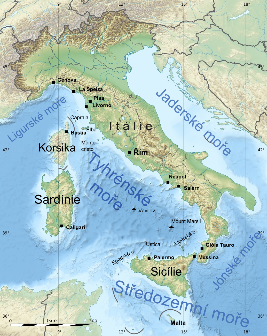
English: Blank physical map of Italy including the 08-2009 modification of the boundary between Emilia-Romagna and Marche regions, for geo-location purpose. Français : Carte physique vierge de l'Italie intégrant la modification d'août 2009 de la frontière entre les régions Emilia-Romagna et Marche, destinée à la géolocalisation. Equirectangular projection, WGS84 datum *Standard meridian: 012° 36' E *Central parallel: 41° 21' N Geographic limits of the map: *West: 006° 12' E *East: 019° E *North: 47° 24' N *South: 35° 18' N |
| Date | (UTC) |
| Source | |
| Author |
|
| This is a retouched picture, which means that it has been digitally altered from its original version. Modifications: popisky. The original can be viewed here: Italy relief location map.jpg:
|
I, the copyright holder of this work, hereby publish it under the following licenses:
This file is licensed under the Creative Commons Attribution-Share Alike 3.0 Unported license.
- You are free:
- to share – to copy, distribute and transmit the work
- to remix – to adapt the work
- Under the following conditions:
- attribution – You must give appropriate credit, provide a link to the license, and indicate if changes were made. You may do so in any reasonable manner, but not in any way that suggests the licensor endorses you or your use.
- share alike – If you remix, transform, or build upon the material, you must distribute your contributions under the same or compatible license as the original.

|
Permission is granted to copy, distribute and/or modify this document under the terms of the GNU Free Documentation License, Version 1.2 or any later version published by the Free Software Foundation; with no Invariant Sections, no Front-Cover Texts, and no Back-Cover Texts. A copy of the license is included in the section entitled GNU Free Documentation License. |
You may select the license of your choice.
Original upload log edit
This image is a derivative work of the following images:
- File:Italy_relief_location_map.jpg licensed with Cc-by-sa-3.0, GFDL
- 2009-09-14T12:23:52Z Sting 1034x1299 (538646 Bytes) updating borders after important variation (http://www.gazzettaufficiale.it/guridb/dispatcher?service=1&datagu=2009-08-14&task=dettaglio&numgu=188&redaz=009G0127&tmstp=1250276942469) - cf [[:File:Italy_location_map.svg]]
- 2009-05-06T20:31:50Z Sting 1034x1299 (538462 Bytes) == Summary == {{Location|41|21|00|N|12|36|00|E|scale:5000000}} {{Information |Description={{en|Blank physical map of [[:en:Italy|Italy]], for geo-location purpose.}} {{fr|Carte physique vierge de l'[[:fr:Italie|Italie]], des
Uploaded with derivativeFX
File history
Click on a date/time to view the file as it appeared at that time.
| Date/Time | Thumbnail | Dimensions | User | Comment | |
|---|---|---|---|---|---|
| current | 19:20, 5 March 2010 | | 1,034 × 1,299 (2.23 MB) | Vojtěch Kunc (talk | contribs) | {{Information |Description={{en|Blank physical map of Italy including the 08-2009 modification of the boundary between Emilia-Romagna and Marche regions, for geo-location purpose.}} {{fr|Carte physique vierge de l'Italie inté |
You cannot overwrite this file.
File usage on Commons
The following page uses this file:
- File:Italy relief location map-2.jpg (file redirect)
File usage on other wikis
The following other wikis use this file:
- Usage on cs.wikipedia.org