File:J35 660 Kössen, Wetterfahne.jpg

Size of this preview: 800 × 533 pixels. Other resolutions: 320 × 213 pixels | 640 × 427 pixels | 1,024 × 683 pixels | 1,280 × 853 pixels | 2,560 × 1,707 pixels | 5,659 × 3,773 pixels.
Original file (5,659 × 3,773 pixels, file size: 7.47 MB, MIME type: image/jpeg)
Captions
Captions
Add a one-line explanation of what this file represents
Summary
edit
| Description |
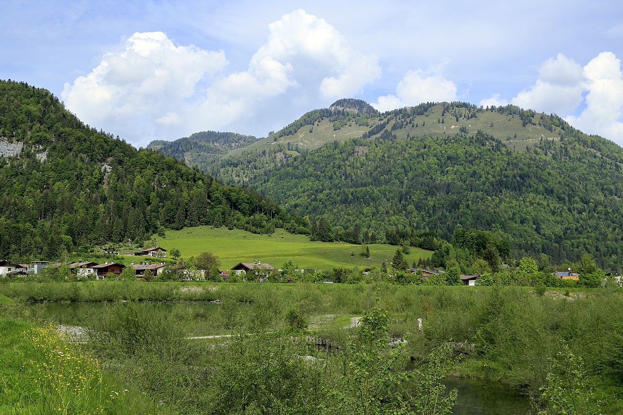
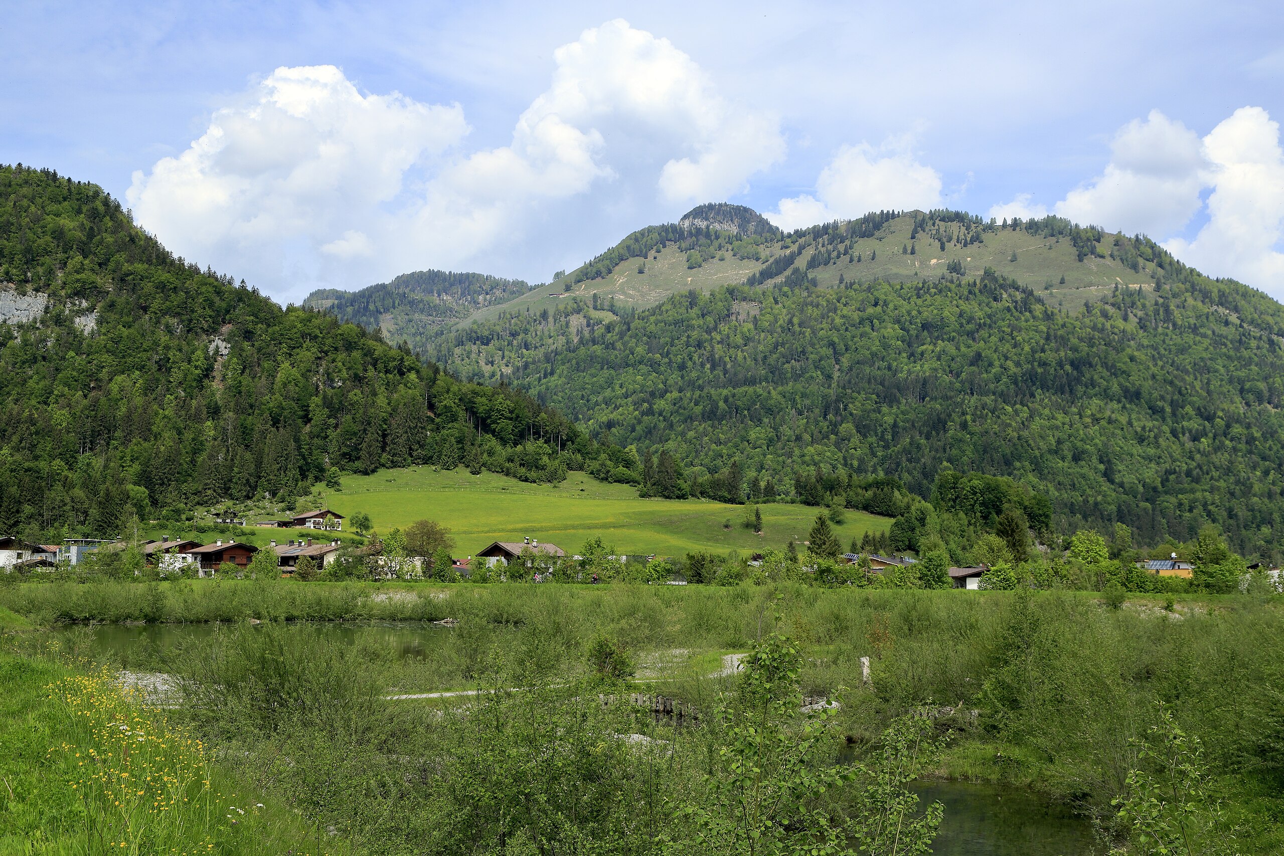
Deutsch: Vom Achenloch an der Großache in Kössen Richtung Nordwest, vor dem Gipfel mit einer Höhe von 1272 m verläuft das Tal des Staffenbaches. Der Hauptgipfel Rudersburg ist mit 1434 m noch etwas höher. |
| Date | |
| Source | Own work |
| Author | Falk2 |
Licensing
edit
This file is licensed under the Creative Commons Attribution-Share Alike 4.0 International license.
- You are free:
- to share – to copy, distribute and transmit the work
- to remix – to adapt the work
- Under the following conditions:
- attribution – You must give appropriate credit, provide a link to the license, and indicate if changes were made. You may do so in any reasonable manner, but not in any way that suggests the licensor endorses you or your use.
- share alike – If you remix, transform, or build upon the material, you must distribute your contributions under the same or compatible license as the original.
File history
Click on a date/time to view the file as it appeared at that time.
| Date/Time | Thumbnail | Dimensions | User | Comment | |
|---|---|---|---|---|---|
| current | 11:00, 22 April 2023 | | 5,659 × 3,773 (7.47 MB) | Falk2 (talk | contribs) | {{Information |Beschreibung=Vom Achenloch an der Großache in Kössen Richtung Nordwest, vor dem Gipfel mit einer Höhe von 1272 m verläuft das Tal des Staffenbaches. Der Hauptgipfel Rudersburg ist mit 1434 m noch etwas höher. |Quelle=eigenes Werk |Urheber=Falk2 |Datum=2019-05-25 10.57 |Genehmigung= |Andere Versionen= |Anmerkungen= }} == Lizenz == {{Bild-CC-by-sa/4.0}} {{commonsfähig}} <nowiki> Category:Taken with Canon EOS 5D Mark III and Canon EF 24-105mm F4L IS USM [[Catego… |
You cannot overwrite this file.
File usage on Commons
There are no pages that use this file.