File:Jagst-Pegel Untergriesheim1.jpg

Size of this preview: 800 × 577 pixels. Other resolutions: 320 × 231 pixels | 640 × 462 pixels | 1,024 × 739 pixels | 1,280 × 924 pixels | 2,750 × 1,985 pixels.
Original file (2,750 × 1,985 pixels, file size: 680 KB, MIME type: image/jpeg)
Captions
Captions
Add a one-line explanation of what this file represents
Summary
edit
| Description | |
| Source | Own work |
| Author | Sarang |
| Object location | | View this and other nearby images on: OpenStreetMap |
|---|
Licensing
edit
| I, the copyright holder of this work, release this work into the public domain. This applies worldwide. In some countries this may not be legally possible; if so: I grant anyone the right to use this work for any purpose, without any conditions, unless such conditions are required by law. |
File history
Click on a date/time to view the file as it appeared at that time.
| Date/Time | Thumbnail | Dimensions | User | Comment | |
|---|---|---|---|---|---|
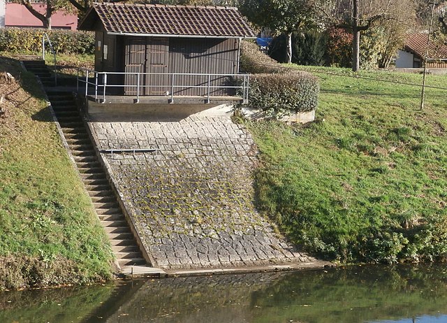
| current | 07:54, 10 November 2021 | | 2,750 × 1,985 (680 KB) | Sarang (talk | contribs) | {{Information |description={{de|Pegelanlage an der {{Wd|Jagst}} in {{Wd|Untergriesheim}}.}} |source={{own}} |author={{U|Sarang}} }} {{Object location|49°16′06.5″N 09°13′12.1″E|dim:320}} == {{int:license-header}} == {{Pd-self}} Category:Stream gauges in Baden-Württemberg Category:Untergriesheim |
You cannot overwrite this file.
File usage on Commons
The following 3 pages use this file:
File usage on other wikis
The following other wikis use this file:
- Usage on www.wikidata.org