File:Jason-3 Satellite Rendering (16979948568).jpg
Size of this preview: 673 × 600 pixels. Other resolutions: 269 × 240 pixels | 539 × 480 pixels | 862 × 768 pixels | 1,149 × 1,024 pixels | 1,989 × 1,772 pixels.
Original file (1,989 × 1,772 pixels, file size: 1.03 MB, MIME type: image/jpeg)
Captions
Captions
Add a one-line explanation of what this file represents
Summary edit
.jpg&action=edit§ion=1)
| Description |
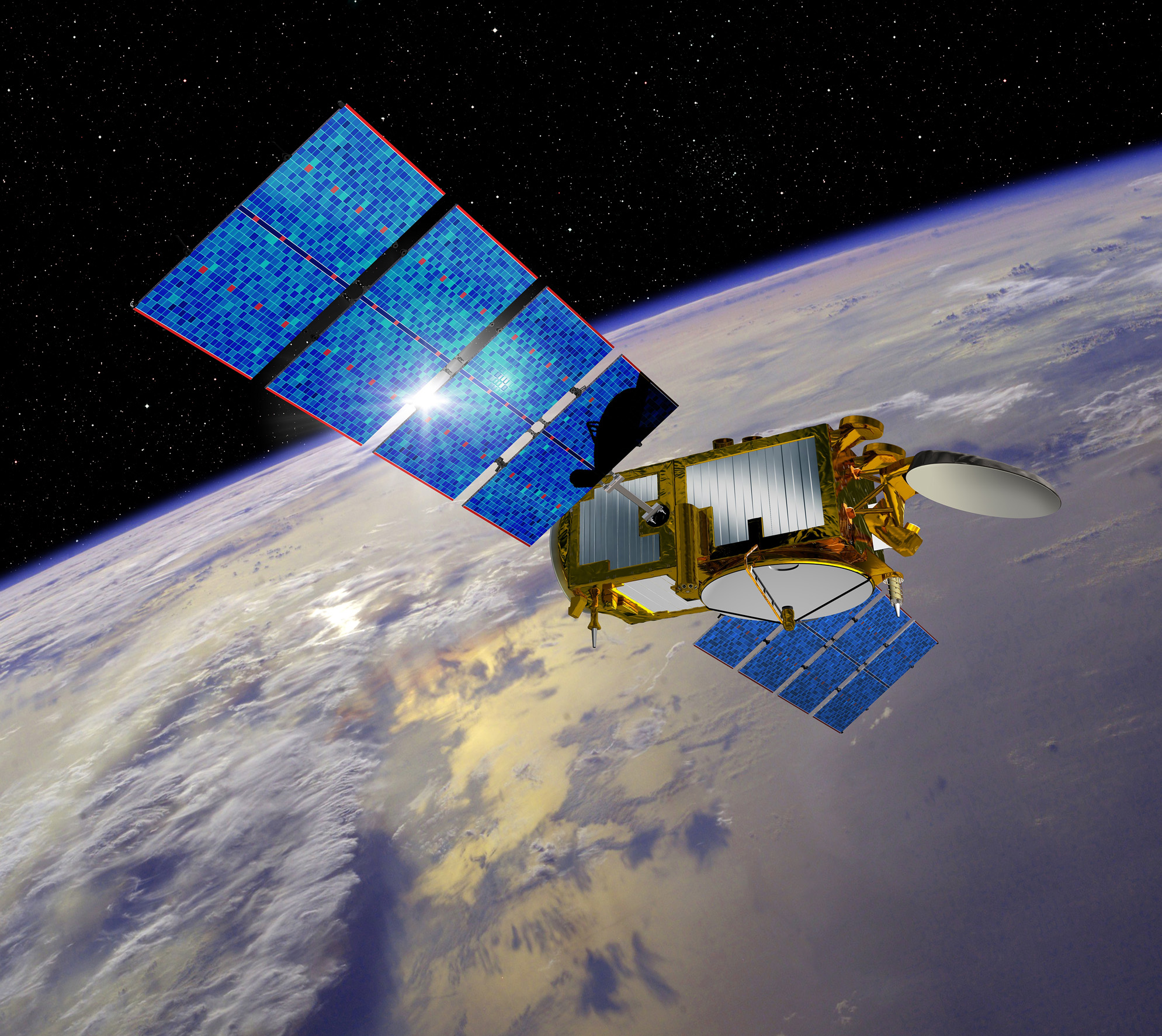
Illustration du satellite d'oceanographie Jason 3. Sa mission a pour objectif d'assurer la continuite operationnelle de la collecte et de la distribution de donnees de haute precision sur l'etude des courants oceaniques et la mesure des niveaux marins, afin d'ameliorer la comprehension de ces phenomenes et leur impact sur le climat. Credit: CNES Read more: <a href="http://www.aviso.altimetry.fr/?id=601&L=0" rel="nofollow">www.aviso.altimetry.fr/?id=601&L=0</a> |
| Date | |
| Source | Jason-3 Satellite Rendering |
| Author | NOAA Satellites |
Licensing edit
.jpg&action=edit§ion=2)
This image is in the public domain because it contains materials that originally came from the U.S. National Oceanic and Atmospheric Administration, taken or made as part of an employee's official duties.
|
| This image was originally posted to Flickr by NOAASatellites at https://flickr.com/photos/125201706@N06/16979948568 (archive). It was reviewed on 5 December 2019 by FlickreviewR 2 and was confirmed to be licensed under the terms of the Public Domain Mark. |
File history
Click on a date/time to view the file as it appeared at that time.
| Date/Time | Thumbnail | Dimensions | User | Comment | |
|---|---|---|---|---|---|
| current | 11:08, 8 February 2019 | | 1,989 × 1,772 (1.03 MB) | Kesäperuna (talk | contribs) | Transferred from Flickr via #flickr2commons |
You cannot overwrite this file.
File usage on Commons
The following page uses this file:
.jpg&oldid=853433043)