File:Josephinische Landesaufnahme Rax, Höllental, Naßwald.jpg

Original file (7,360 × 4,955 pixels, file size: 33.89 MB, MIME type: image/jpeg)
Captions
Captions
Summary
edit
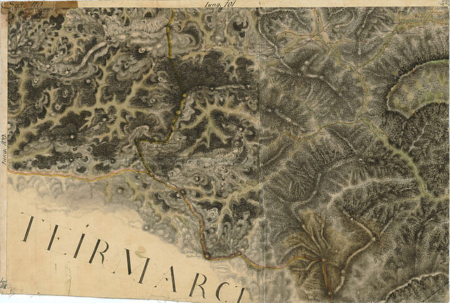
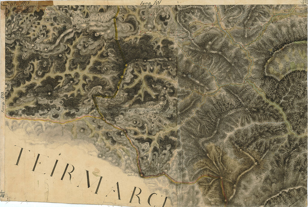
| Description | historische Landkarte BIXa242 sect.110c Josephinische Landesaufnahme: Rax, Höllental, Naßwald, Grünschachen auf dem Raxplateau, niederösterreichische Seite, Niederösterreich, Österreich |
| Date | Landesaufnahme: von 1764 bis 1787. |
| Source | Josephinische Landesaufnahme |
| Author | historische Militärkarte der österreichisch-ungarischen Monarchie |
| Permission (Reusing this file) |
freies Werk |
Licensing
edit
|
This work is in the public domain in its country of origin and other countries and areas where the copyright term is the author's life plus 70 years or fewer.
| |
| This file has been identified as being free of known restrictions under copyright law, including all related and neighboring rights. | |
File history
Click on a date/time to view the file as it appeared at that time.
| Date/Time | Thumbnail | Dimensions | User | Comment | |
|---|---|---|---|---|---|
| current | 13:18, 30 June 2009 | | 7,360 × 4,955 (33.89 MB) | Josef Moser (talk | contribs) | == Beschreibung == {{Information |Description=historische Landkarte BIXa242 sect.110c Josephinische Landesaufnahme: Rax, Höllental, Naßwald, Grünschachen auf dem Raxplateau, niederösterreichische Seite, Niederösterreich, Österreich |Source=Josephini |
You cannot overwrite this file.
File usage on Commons
The following page uses this file:
File usage on other wikis
The following other wikis use this file:
- Usage on de.wikipedia.org