File:Junction of Highway 401 and 410, Mississauga, Ontario (21651946500).jpg

Original file (4,000 × 3,000 pixels, file size: 2.03 MB, MIME type: image/jpeg)
Captions
Captions
Summary edit
.jpg&action=edit§ion=1)
| Description |
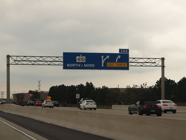
King's Highway 410, also known as Highway 410 and colloquially as the four-ten, is a 400-series highway in the Canadian province of Ontario that connects Highways 401 and 403 to Brampton. North of Brampton, the freeway connects to Highway 10, which continues north through Caledon as a four lane arterial road. The route is patrolled by the Ontario Provincial Police and has a speed limit of 100 km/h (62 mph). Highway 410 was built along the alignment of Heart Lake Road south of Bovaird Drive, while north of Bovaird Drive it was built along a new alignment. The highway was designated in 1978 between Highway 401 and Bovaird Drive (later Highway 7), though it was only two lanes wide and did not feature any interchanges. It was widened throughout the 1980s and completed as a freeway in 1991. In 2003, construction began on a northward extension of the freeway that was completed in November 2009. A notable feature of Highway 410 is the four-level interchange with Highways 401 and 403 which includes a large flyover ramp from Highway 401 eastbound to Highway 410 northbound, constructed in 1990. The majority of the freeway features a grass median as opposed to an Ontario Tall Wall like neighbouring freeways. en.wikipedia.org/wiki/Ontario_Highway_410 en.wikipedia.org/wiki/Wikipedia:Text_of_Creative_Commons_... |
| Date | |
| Source | Junction of Highway 401 and 410, Mississauga, Ontario |
| Author | Ken Lund from Reno, Nevada, USA |
| Camera location | | View this and other nearby images on: OpenStreetMap |
|---|
.jpg¶ms=043.632458_N_-079.677789_E_globe:Earth_type:camera_source:Flickr_&language=en)
Licensing edit
.jpg&action=edit§ion=2)
- You are free:
- to share – to copy, distribute and transmit the work
- to remix – to adapt the work
- Under the following conditions:
- attribution – You must give appropriate credit, provide a link to the license, and indicate if changes were made. You may do so in any reasonable manner, but not in any way that suggests the licensor endorses you or your use.
- share alike – If you remix, transform, or build upon the material, you must distribute your contributions under the same or compatible license as the original.
| This image was originally posted to Flickr by Ken Lund at https://flickr.com/photos/75683070@N00/21651946500. It was reviewed on 19 December 2016 by FlickreviewR and was confirmed to be licensed under the terms of the cc-by-sa-2.0. |
File history
Click on a date/time to view the file as it appeared at that time.
| Date/Time | Thumbnail | Dimensions | User | Comment | |
|---|---|---|---|---|---|
| current | 15:30, 19 December 2016 | | 4,000 × 3,000 (2.03 MB) | Mindmatrix (talk | contribs) | Transferred from Flickr via Flickr2Commons |
You cannot overwrite this file.
File usage on Commons
There are no pages that use this file.
.jpg&oldid=700586165)