File:KG-Jalal-Abad-Toktogul.svg

Size of this PNG preview of this SVG file: 800 × 364 pixels. Other resolutions: 320 × 145 pixels | 640 × 291 pixels | 1,024 × 466 pixels | 1,280 × 582 pixels | 2,560 × 1,164 pixels | 1,223 × 556 pixels.
Original file (SVG file, nominally 1,223 × 556 pixels, file size: 2.42 MB)
Captions
Captions
KG-Jalal-Abad-Toktogul
Summary
edit
| Description |
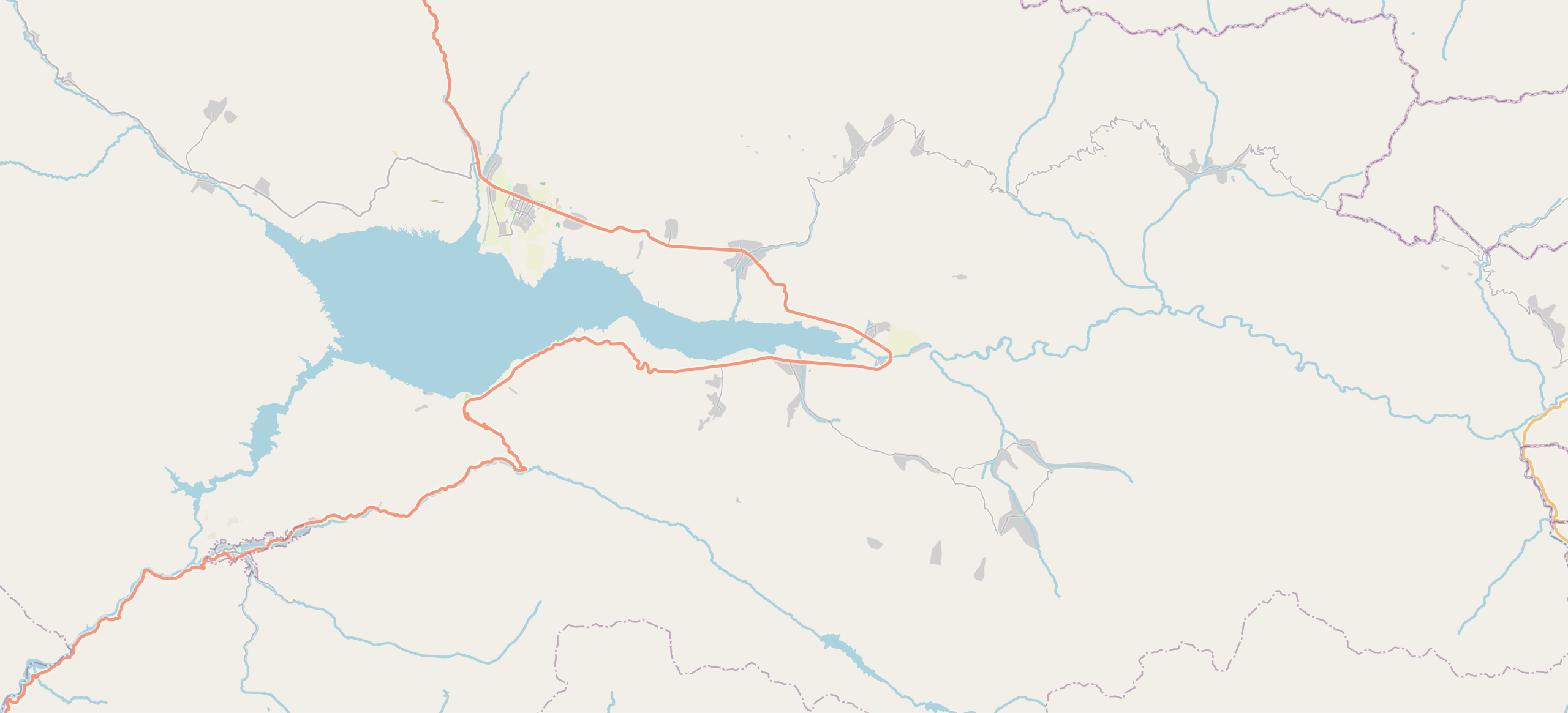
English: KG-Jalal-Abad-Toktogul |
| Date | |
| Source | openstreetmap.org |
| Author | OpenStreetMap contributors |
Licensing
edit
| Description |
This map was created from OpenStreetMap project data, collected by the community. This map may be incomplete, and may contain errors. Don't rely solely on it for navigation. |
|||
| Date | (see file history) | |||
| Source | openstreetmap.org | |||
| Creator |
OpenStreetMap contributors |
|||
| Permission (Reusing this file) |
OpenStreetMap data is available under the Open Database License (details). Map tiles are licensed under the Creative Commons Attribution-ShareAlike 2.0 license (CC-BY-SA 2.0).
This file is licensed under the Creative Commons Attribution-Share Alike 2.0 Generic license.
|
|||
| Georeferencing | If inappropriate please set warp_status = skip to hide. |
File history
Click on a date/time to view the file as it appeared at that time.
| Date/Time | Thumbnail | Dimensions | User | Comment | |
|---|---|---|---|---|---|
| current | 09:35, 23 August 2023 | | 1,223 × 556 (2.42 MB) | Kmaksat (talk | contribs) | Uploaded a work by OpenStreetMap contributors from openstreetmap.org with UploadWizard |
You cannot overwrite this file.
File usage on Commons
There are no pages that use this file.
File usage on other wikis
The following other wikis use this file:
- Usage on en.wikipedia.org
- Usage on ky.wikipedia.org
- Usage on ru.wikipedia.org
- Токтогульский район
- Токтогульское водохранилище
- Токтогул
- Капка-Таш
- Шаблон:ПозКарта Кыргызстан Джалал-Абадская область Токтогульский район
- Шаблон:Карта Токтогульского района
- Чолпон-Ата (Джалал-Абадская область)
- Ак-Тектир
- Балыкты (Джалал-Абадская область)
- Кара-Кюнгей (Джалал-Абадская область)
- Кушчу-Суу
- Мазар-Суу
- Торкент
- Кетерме (Абды Суеркуловский айылный аймак)
- Кара-Джыгач (Токтогульский район)
- Толук
- Алмалуу (Джалал-Абадская область)
- Ноот
- Чаар-Таш
- Джетиген
- Уч-Терек
- Кызыл-Ураан
- Саргата
- Такталык
- Бирлик (Джалал-Абадская область)
- Кетерме (Сары-Камышский айылный аймак)
- Терек-Суу (Джалал-Абадская область)
- Чон-Арык (Джалал-Абадская область)
- Беке-Чал
- Эшсай
- Джаны-Арык (Токтогульский район)
- Кырк-Казык
- Ничке-Сай (Джалал-Абадская область)
- Чоргочу
- Кызыл-Озгерюш
- Ан-Арык (Джалал-Абадская область)
- Бель-Кара-Суу
- Бууракан
- Джар-Таш
- Камыш-Башы (Токтогульский район)
- Конур-Огюз
- Кош-Таш
- Орто-Джон
View more global usage of this file.