File:KMGMusgs.png
Size of this preview: 800 × 544 pixels. Other resolutions: 320 × 218 pixels | 640 × 435 pixels | 1,022 × 695 pixels.
Original file (1,022 × 695 pixels, file size: 931 KB, MIME type: image/png)
Captions
Captions
Add a one-line explanation of what this file represents
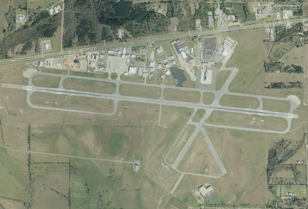
w:Montgomery Regional Airport in Montgomery, Alabama. USGS data via NASA World Wind.
| This image is in the public domain because it is a screenshot from NASA’s globe software World Wind using a public domain layer, such as Blue Marble, MODIS, Landsat, SRTM, USGS or GLOBE.
|
 |
File history
Click on a date/time to view the file as it appeared at that time.
| Date/Time | Thumbnail | Dimensions | User | Comment | |
|---|---|---|---|---|---|
| current | 01:34, 25 June 2007 | | 1,022 × 695 (931 KB) | Spyder Monkey (talk | contribs) | w:Montgomery Regional Airport in Montgomery, Alabama. USGS data via NASA World Wind. {{PD-WorldWind}} Category:Satellite pictures of Alabama Category:Aerial photographs of airports Category:Airports in Alabama |
You cannot overwrite this file.
File usage on Commons
There are no pages that use this file.