File:KT60AWZ-CA19-2-3591 Shimamura Ferry.jpg
Size of this preview: 800 × 597 pixels. Other resolutions: 320 × 239 pixels | 640 × 478 pixels | 1,024 × 765 pixels | 1,280 × 956 pixels | 1,445 × 1,079 pixels.
Original file (1,445 × 1,079 pixels, file size: 266 KB, MIME type: image/jpeg)
Captions
Captions
Add a one-line explanation of what this file represents
Summary
edit
| Description |
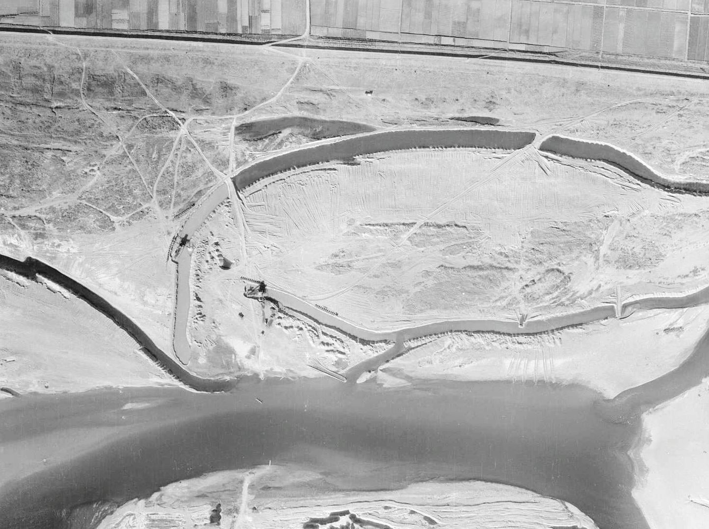
English: Shimamura ferry.
|
| Date | |
| Source | http://mapps.gsi.go.jp/maplibSearch.do?specificationId=738720 |
| Author |
Geospatial Information Authority of Japan Retouch: Qurren (talk) |
| Camera location | | View this and other nearby images on: OpenStreetMap |
|---|
Licensing
edit

|
This work is licensed under the Government of Japan Standard Terms of Use (Ver.2.0). The Terms of Use are compatible with the Creative Commons Attribution License 4.0 International. For the terms of use of this work, see this license page.
|
This file is licensed under the Creative Commons Attribution 4.0 International license.
Attribution: 国土地理院 (Geospatial Information Authority of Japan)
- You are free:
- to share – to copy, distribute and transmit the work
- to remix – to adapt the work
- Under the following conditions:
- attribution – You must give appropriate credit, provide a link to the license, and indicate if changes were made. You may do so in any reasonable manner, but not in any way that suggests the licensor endorses you or your use.
File history
Click on a date/time to view the file as it appeared at that time.
| Date/Time | Thumbnail | Dimensions | User | Comment | |
|---|---|---|---|---|---|
| current | 11:30, 9 January 2017 | | 1,445 × 1,079 (266 KB) | Qurren (talk | contribs) | == {{int:filedesc}} == {{Information |Description={{en|1=en:Shimamura ferry.}} {{ja|1=ja:島村渡船。採石場からja:徳川河岸駅方面へと伸びる専用線も見える。}} |Source=http://mapps.gsi.go.jp/maplibSearch.do?sp... |
You cannot overwrite this file.
File usage on Commons
The following 2 pages use this file:
File usage on other wikis
The following other wikis use this file:
- Usage on ja.wikipedia.org