File:KYF HAUSMANNSTURM Map.png
Size of this preview: 403 × 600 pixels. Other resolutions: 161 × 240 pixels | 322 × 480 pixels | 736 × 1,095 pixels.
Original file (736 × 1,095 pixels, file size: 224 KB, MIME type: image/png)
Captions
Captions
Add a one-line explanation of what this file represents
Summary
edit
| Description |
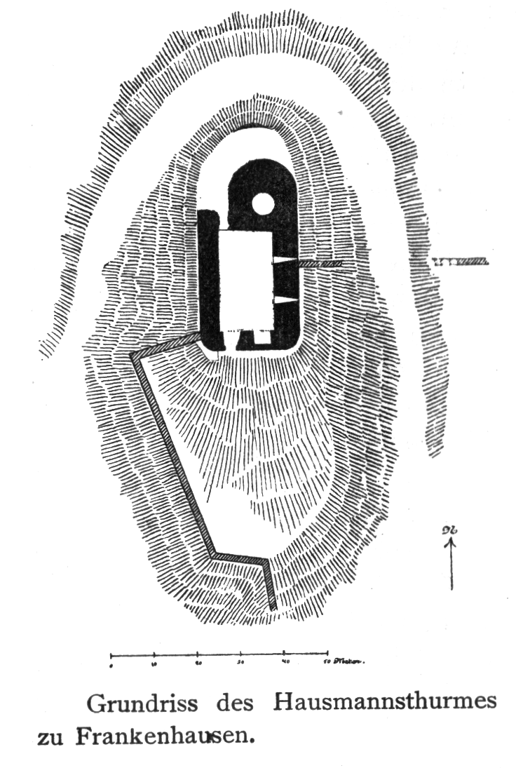
English: A map of the Hausmannsthurm, a castle in Frankenhausen. |
| Date | before 1900 |
| Source | Paul Lehfeld: Einführung in die Kunstgeschichte der Thüringischen Staaten. Verlag vom Gustav Fischer. Jena 1900, S. 6. |
| Author | N.N. |
Licensing
edit
|
This work is in the public domain in its country of origin and other countries and areas where the copyright term is the author's life plus 70 years or fewer. | |
| This file has been identified as being free of known restrictions under copyright law, including all related and neighboring rights. | |
File history
Click on a date/time to view the file as it appeared at that time.
| Date/Time | Thumbnail | Dimensions | User | Comment | |
|---|---|---|---|---|---|
| current | 11:51, 22 June 2009 | | 736 × 1,095 (224 KB) | Metilsteiner (talk | contribs) | {{Information |Description={{en|1=A map of the ''Hausmannsthurm'', a castle in Frankenhausen.}} |Source=Paul Lehfeld: ''Einführung in die Kunstgeschichte der Thüringischen Staaten. Verlag vom Gustav Fischer. Jena 1900, S. 6. |Author=N.N. |Date=vor 1900 |
You cannot overwrite this file.
File usage on Commons
There are no pages that use this file.
File usage on other wikis
The following other wikis use this file:
- Usage on de.wikipedia.org