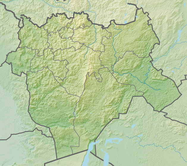
File:KZ Aktobe Region Relief.png
No higher resolution available.
KZ_Aktobe_Region_Relief.png (629 × 561 pixels, file size: 754 KB, MIME type: image/png)
Captions
Captions
Add a one-line explanation of what this file represents
Summary
edit
Licensing
edit
I, the copyright holder of this work, hereby publish it under the following license:
This file is licensed under the Creative Commons Attribution-Share Alike 4.0 International license.
- You are free:
- to share – to copy, distribute and transmit the work
- to remix – to adapt the work
- Under the following conditions:
- attribution – You must give appropriate credit, provide a link to the license, and indicate if changes were made. You may do so in any reasonable manner, but not in any way that suggests the licensor endorses you or your use.
- share alike – If you remix, transform, or build upon the material, you must distribute your contributions under the same or compatible license as the original.
File history
Click on a date/time to view the file as it appeared at that time.
| Date/Time | Thumbnail | Dimensions | User | Comment | |
|---|---|---|---|---|---|
| current | 11:22, 16 April 2016 | | 629 × 561 (754 KB) | Nzeemin (talk | contribs) |
You cannot overwrite this file.
File usage on Commons
The following page uses this file:
File usage on other wikis
The following other wikis use this file:
- Usage on arz.wikipedia.org
- Usage on be.wikipedia.org
- Usage on ce.wikipedia.org
- Usage on de.wikipedia.org
- Usage on eo.wikipedia.org
- Usage on es.wikipedia.org
- Usage on fr.wikipedia.org
- Usage on he.wikipedia.org
- Usage on ja.wikipedia.org
- Usage on kk.wikipedia.org
- Ырғыз-Торғай резерваты
- Исеншағыл
- Айыркөл
- Байтақкөл
- Қаратөбе мұнай кен орны
- Қарғалы бөгені
- Қожасай мұнай-газ конденсат кен орны
- Құмсай мұнай кен орны
- Мұғалжар тауы
- Торғай қолаты
- Шағырай үстірті
- Жақсыбұталы
- Жалпақ (тау, Ақтөбе облысы)
- Жалпақсор (ойыс, Ақтөбе облысы)
- Жаман Қантөрткіл
- Жамантау (Ақтөбе облысы)
- Жамантұз (Ақтөбе облысы)
- Жаңғыбай
- Жаркөл (көл, Ақтөбе облысы)
- Жарықкөл
- Жарықтау
- Жәмет
- Жыңғылдыөзексор
- Каменная (тау, Ақтөбе облысы)
- Кедейдектау
- Келтекөл
- Кенжебай тауы
- Кенқұс
- Кеңшағыл
- Кережан
- Керуентау
- Көкалақұм
- Көксеңгір (төбе, Ақтөбе облысы)
- Көлдіш
- Күшікбай
- Кіші Борсық
View more global usage of this file.