File:Kadastrale kaarten van het Kadaster en hypotheekkantoren Noord-Holland. Verzamelkaart Heemskerk. 1821.jpg

Size of this preview: 800 × 556 pixels. Other resolutions: 320 × 222 pixels | 640 × 445 pixels | 1,024 × 712 pixels | 1,280 × 890 pixels | 2,560 × 1,779 pixels | 12,184 × 8,468 pixels.
Original file (12,184 × 8,468 pixels, file size: 29.51 MB, MIME type: image/jpeg)
Captions
Captions
Add a one-line explanation of what this file represents
Summary edit
| Warning | The original file is very high-resolution. It might not load properly or could cause your browser to freeze when opened at full size. |
|---|
| Description |
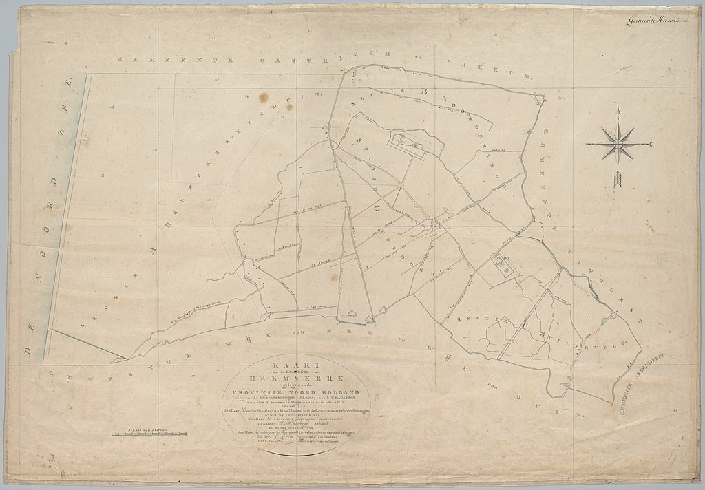
Nederlands: Kadastrale kaarten van het Kadaster en hypotheekkantoren Noord-Holland. Verzamelkaart Heemskerk. 1821 |
| Date | |
| Source | Verzamelkaart Heemskerk, Archiefdeel van kadastrale kaarten van het Kadaster en hypotheekkantoren Noord-Holland (KADOR Noord-Holland), Noord-Hollands Archief, NL-HlmNHA_491_0734 |
| Author | G. Grott voor het Kadaster van de Gemeente |
Licensing edit
|
This work is in the public domain in its country of origin and other countries and areas where the copyright term is the author's life plus 70 years or fewer. This work is in the public domain in the United States because it was published (or registered with the U.S. Copyright Office) before January 1, 1929. | |
| This file has been identified as being free of known restrictions under copyright law, including all related and neighboring rights. | |
File history
Click on a date/time to view the file as it appeared at that time.
| Date/Time | Thumbnail | Dimensions | User | Comment | |
|---|---|---|---|---|---|
| current | 02:21, 2 February 2022 | | 12,184 × 8,468 (29.51 MB) | Mdd (talk | contribs) | Uploaded a work by G. Grott voor het Kadaster van de Gemeente from [https://hdl.handle.net/21.12102/822FEEAEF7A19E52B1C0A36782D5A7E2 Verzamelkaart Heemskerk], Archiefdeel van kadastrale kaarten van het Kadaster en hypotheekkantoren Noord-Holland (KADOR Noord-Holland), Noord-Hollands Archief, NL-HlmNHA_491_0734 with UploadWizard |
You cannot overwrite this file.
File usage on Commons
The following page uses this file: