File:Kagoshima prefectural road route 242 - Yamakawa-Okachogamizu, Ibusuki.jpg

Size of this preview: 800 × 600 pixels. Other resolutions: 320 × 240 pixels | 640 × 480 pixels | 1,024 × 768 pixels | 1,280 × 960 pixels | 2,048 × 1,536 pixels.
Original file (2,048 × 1,536 pixels, file size: 763 KB, MIME type: image/jpeg)
Captions
Captions
Add a one-line explanation of what this file represents
Summary edit
| Description |
日本語: (この画像はFlickrから)
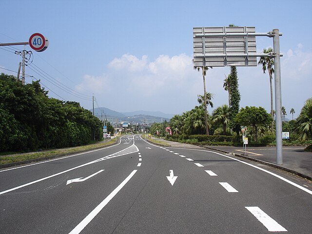
鹿児島県道242号川尻浦山川線(鹿児島県指宿市山川岡児ケ水) |
| Date | |
| Source | https://www.flickr.com/photos/94693136@N05/24273458086/ |
| Author | inunami |
| Camera location | | View this and other nearby images on: OpenStreetMap |
|---|
Licensing edit
This file is licensed under the Creative Commons Attribution 2.0 Generic license.
- You are free:
- to share – to copy, distribute and transmit the work
- to remix – to adapt the work
- Under the following conditions:
- attribution – You must give appropriate credit, provide a link to the license, and indicate if changes were made. You may do so in any reasonable manner, but not in any way that suggests the licensor endorses you or your use.
| This image was originally posted to Flickr by inunami at https://flickr.com/photos/94693136@N05/24273458086. It was reviewed on 18 November 2022 by FlickreviewR 2 and was confirmed to be licensed under the terms of the cc-by-2.0. |
File history
Click on a date/time to view the file as it appeared at that time.
| Date/Time | Thumbnail | Dimensions | User | Comment | |
|---|---|---|---|---|---|
| current | 03:44, 18 November 2022 | | 2,048 × 1,536 (763 KB) | 運動会プロテインパワー (talk | contribs) | Uploaded a work by inunami from https://www.flickr.com/photos/94693136@N05/24273458086/ with UploadWizard |
You cannot overwrite this file.
File usage on Commons
There are no pages that use this file.
File usage on other wikis
The following other wikis use this file:
- Usage on ja.wikipedia.org