File:Kalkoenkransdam - panoramio (1).jpg
Size of this preview: 800 × 450 pixels. Other resolutions: 320 × 180 pixels | 640 × 360 pixels | 1,024 × 576 pixels | 1,280 × 720 pixels | 2,560 × 1,440 pixels.
Original file (2,560 × 1,440 pixels, file size: 653 KB, MIME type: image/jpeg)
Captions
Captions
Add a one-line explanation of what this file represents
Summary edit
.jpg&action=edit§ion=1)
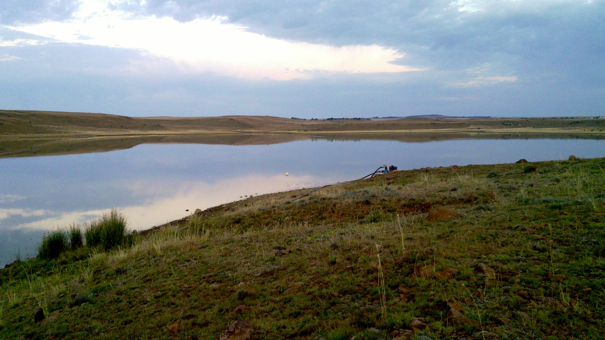
| Description | Kalkoenkransdam | ||
| Date | Taken on 8 May 2012 | ||
| Source | https://web.archive.org/web/20161028161804/http://www.panoramio.com/photo/101959593 | ||
| Author | aids | ||
| Permission (Reusing this file) |
This file is licensed under the Creative Commons Attribution 3.0 Unported license. Attribution: aids
|
||
| Tags (from Panoramio photo page) | Rouxville, Rouxville |
| Camera location | | View this and other nearby images on: OpenStreetMap |
|---|
.jpg¶ms=-30.390340_N_0026.837373_E_globe:Earth_type:camera_source:Panoramio_&language=en)

|
The categories of this image need checking. You can do so here.
|
.jpg&action=edit&withJS=MediaWiki:Catcheck.js)
File history
Click on a date/time to view the file as it appeared at that time.
| Date/Time | Thumbnail | Dimensions | User | Comment | |
|---|---|---|---|---|---|
| current | 02:45, 14 March 2017 | | 2,560 × 1,440 (653 KB) | Panoramio upload bot (talk | contribs) | == {{int:filedesc}} == {{Information |description=Kalkoenkransdam |date={{Taken on|2012-05-08}} |source=http://www.panoramio.com/photo/101959593 |author=[http://www.panoramio.com/user/3595506?with_photo_id=101959593 aids] |permission={{cc-by-3.0|aids}}... |
You cannot overwrite this file.
File usage on Commons
There are no pages that use this file.
.jpg&oldid=587868556)