File:Kanda River (Sekiguchi, Bunkyō).jpg

Size of this preview: 800 × 533 pixels. Other resolutions: 320 × 213 pixels | 640 × 426 pixels | 1,024 × 682 pixels | 1,280 × 853 pixels | 1,600 × 1,066 pixels.
Original file (1,600 × 1,066 pixels, file size: 298 KB, MIME type: image/jpeg)
Captions
Captions
Add a one-line explanation of what this file represents
Summary edit
.jpg&action=edit§ion=1)
| Description | |
| Date | |
| Source | Kanda River |
| Author | Masahiro Hayata from Tokyo, Japan |
| Camera location | | View this and other nearby images on: OpenStreetMap |
|---|
.jpg¶ms=035.711972_N_0139.723278_E_globe:Earth_type:camera_region:JP_type:river_scale:10000_heading:101.25&language=en)
Licensing edit
.jpg&action=edit§ion=2)
This file is licensed under the Creative Commons Attribution-Share Alike 2.0 Generic license.
- You are free:
- to share – to copy, distribute and transmit the work
- to remix – to adapt the work
- Under the following conditions:
- attribution – You must give appropriate credit, provide a link to the license, and indicate if changes were made. You may do so in any reasonable manner, but not in any way that suggests the licensor endorses you or your use.
- share alike – If you remix, transform, or build upon the material, you must distribute your contributions under the same or compatible license as the original.
| This image was originally posted to Flickr by mrhayata at https://www.flickr.com/photos/36516818@N00/106334953. It was reviewed on 8 March 2010 by FlickreviewR and was confirmed to be licensed under the terms of the cc-by-sa-2.0. |
File history
Click on a date/time to view the file as it appeared at that time.
| Date/Time | Thumbnail | Dimensions | User | Comment | |
|---|---|---|---|---|---|
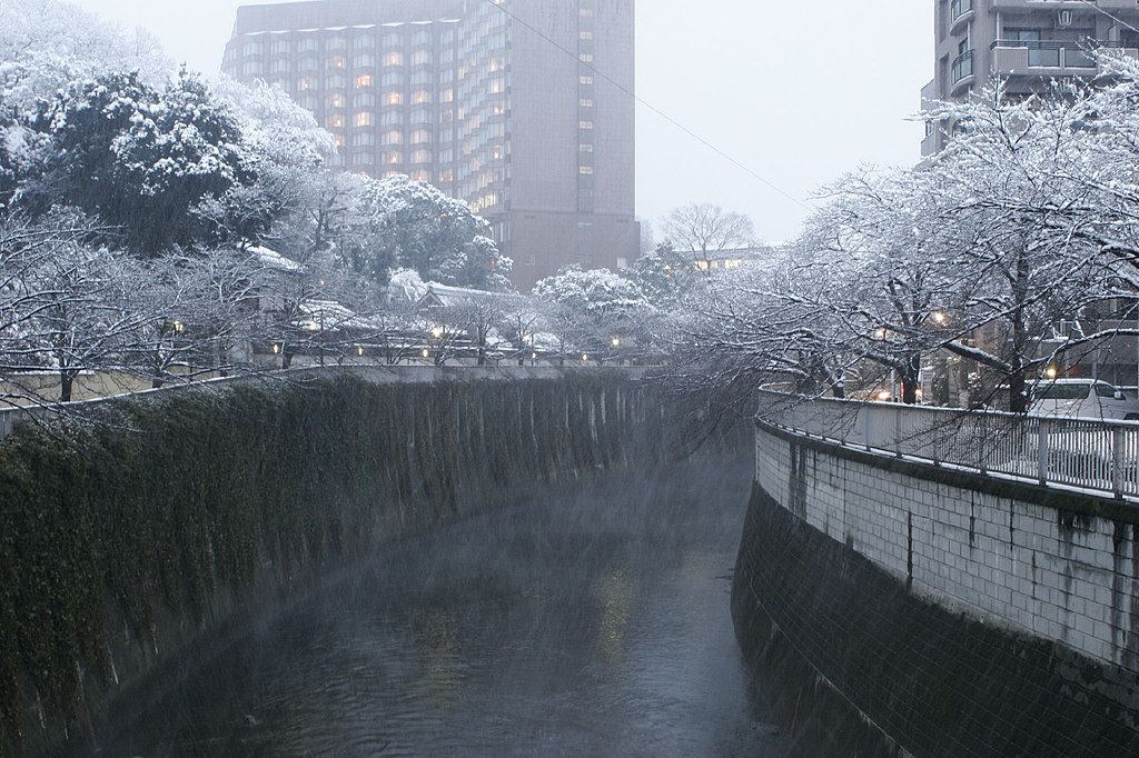
| current | 10:13, 8 March 2010 | | 1,600 × 1,066 (298 KB) | トトト (talk | contribs) | {{Information |Description={{ja|'''駒塚橋'''より神田川の下流方を見る。東京都文京区関口一丁目。地図は [http://www.mapion.co.jp/m/35.7087283333333_139.726498055556_10/ こち� |
You cannot overwrite this file.
File usage on Commons
The following 2 pages use this file:
File usage on other wikis
The following other wikis use this file:
- Usage on fr.wikipedia.org
- Usage on ja.wikipedia.org
- Usage on www.wikidata.org
- Usage on zh.wikipedia.org
.jpg&oldid=700672561)