File:Kansas State Office Building Topeka northeast elevation.jpg
Size of this preview: 800 × 533 pixels. Other resolutions: 320 × 213 pixels | 640 × 427 pixels | 1,024 × 683 pixels | 1,280 × 853 pixels | 2,560 × 1,707 pixels | 3,766 × 2,511 pixels.
Original file (3,766 × 2,511 pixels, file size: 2.79 MB, MIME type: image/jpeg)
Captions
Captions
Add a one-line explanation of what this file represents
Summary
edit
| Description |
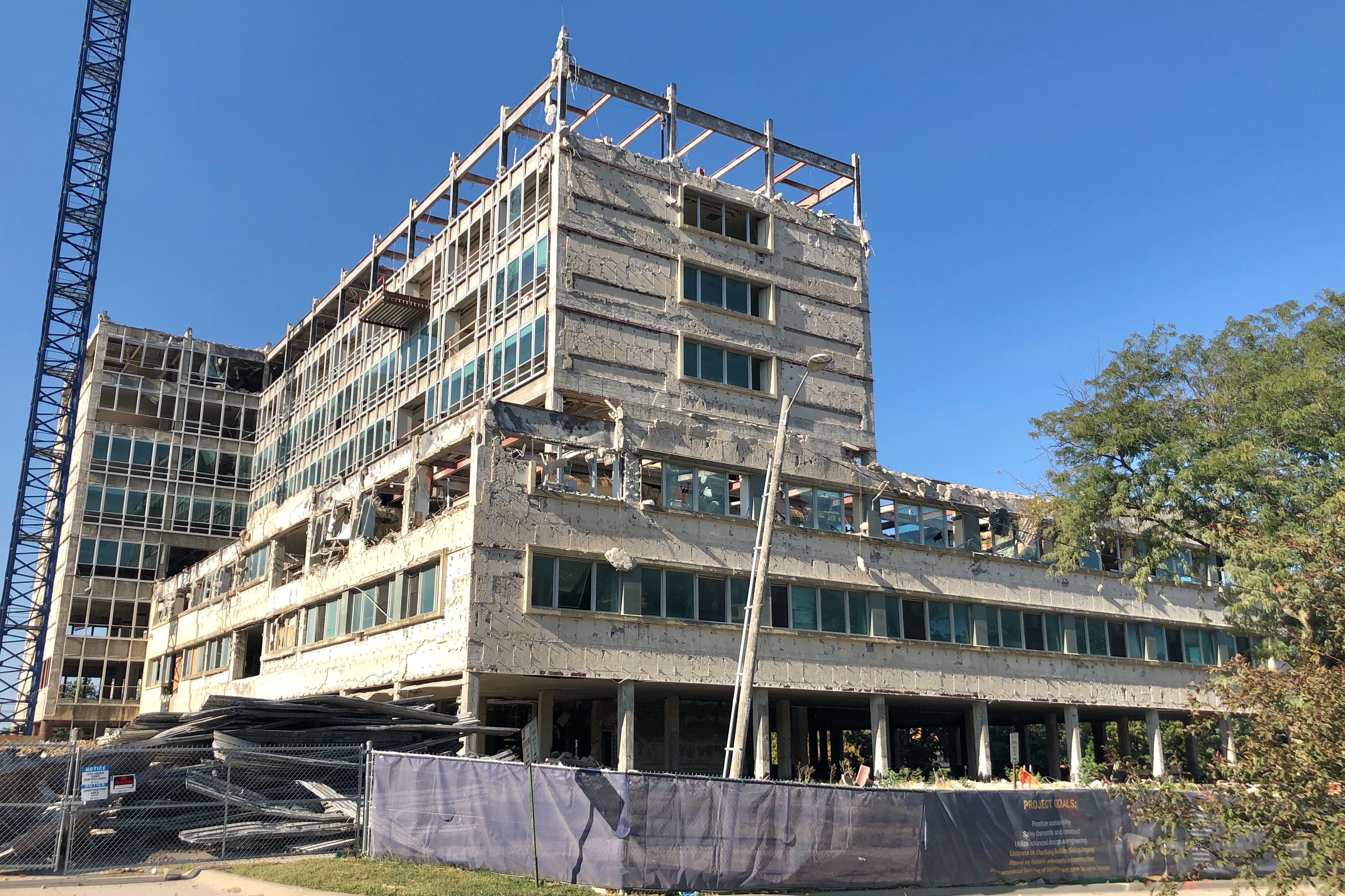
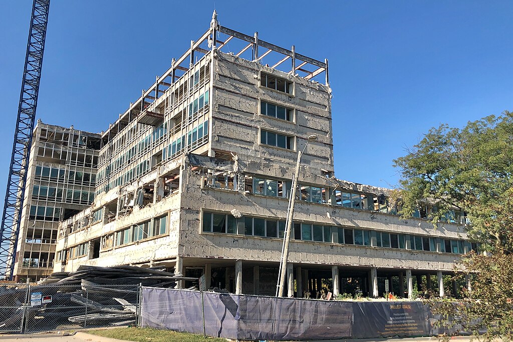
English: Kansas State Office Building
|
||
| Date | |||
| Source | Own work | ||
| Author | SharonPapierdreams |
| Camera location | | View this and other nearby images on: OpenStreetMap |
|---|
The twelve-story building has a flat roof and rises from a reinforced concrete foundation. It has an irregular plan. Two intersecting rectangular towers rise above three-story blocks that comprise the north and southwest sections of the building’s footprint. A separate square tower rises in the northwest corner of the intersecting towers.
Licensing
edit
I, the copyright holder of this work, hereby publish it under the following license:
This file is licensed under the Creative Commons Attribution-Share Alike 4.0 International license.
- You are free:
- to share – to copy, distribute and transmit the work
- to remix – to adapt the work
- Under the following conditions:
- attribution – You must give appropriate credit, provide a link to the license, and indicate if changes were made. You may do so in any reasonable manner, but not in any way that suggests the licensor endorses you or your use.
- share alike – If you remix, transform, or build upon the material, you must distribute your contributions under the same or compatible license as the original.
File history
Click on a date/time to view the file as it appeared at that time.
| Date/Time | Thumbnail | Dimensions | User | Comment | |
|---|---|---|---|---|---|
| current | 18:41, 3 September 2023 | | 3,766 × 2,511 (2.79 MB) | SharonPapierdreams (talk | contribs) | Uploaded own work with UploadWizard |
You cannot overwrite this file.
File usage on Commons
There are no pages that use this file.