File:Karlovy Vary-Tuhnice stadion Závodu míru (2).jpg
Size of this preview: 800 × 533 pixels. Other resolutions: 320 × 213 pixels | 640 × 427 pixels | 1,024 × 683 pixels | 1,280 × 853 pixels | 2,560 × 1,707 pixels | 3,225 × 2,150 pixels.
Original file (3,225 × 2,150 pixels, file size: 3.38 MB, MIME type: image/jpeg)
File information
Structured data
Captions
Summary
editDescriptionKarlovy Vary-Tuhnice stadion Závodu míru (2).jpg |
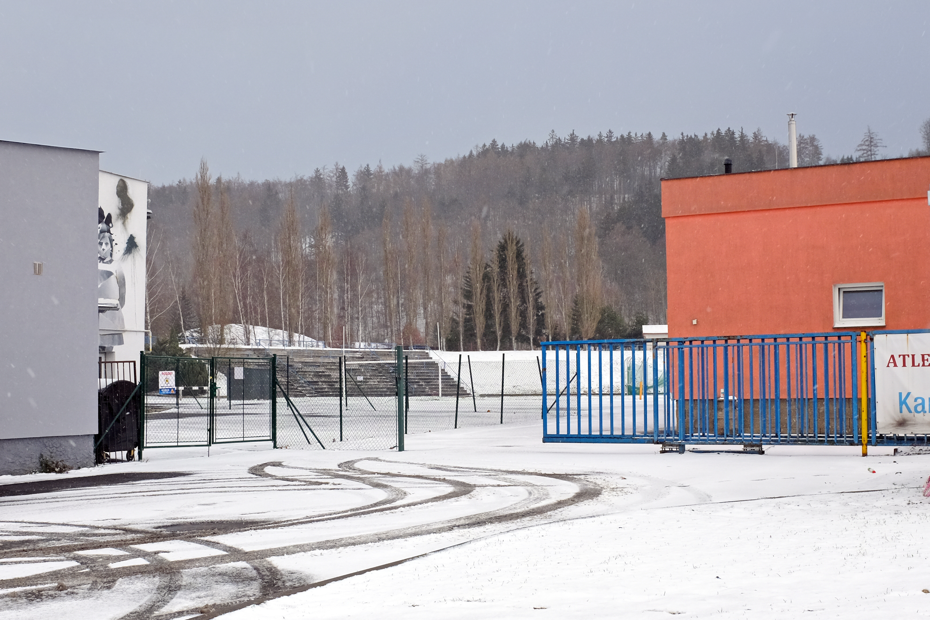
Čeština: Karlovy Vary-Tuhnice, zpustlý stadion Závodu míru |
Date | |
Source | Own work |
Author | Lubor Ferenc |
Permission (Reusing this file) |
I, the copyright holder of this work, hereby publish it under the following license: This file is licensed under the Creative Commons Attribution-Share Alike 4.0 International license.
|
Camera location | 50° 13′ 35.7″ N, 12° 50′ 43.11″ E | View this and other nearby images on: OpenStreetMap | 50.226583; 12.845307 |
---|
File history
Click on a date/time to view the file as it appeared at that time.
Date/Time | Thumbnail | Dimensions | User | Comment | |
---|---|---|---|---|---|
current | 19:37, 2 January 2019 | 3,225 × 2,150 (3.38 MB) | Lubor Ferenc (talk | contribs) | User created page with UploadWizard |
You cannot overwrite this file.
File usage on Commons
There are no pages that use this file.
File usage on other wikis
The following other wikis use this file:
- Usage on cs.wikipedia.org
Metadata
This file contains additional information such as Exif metadata which may have been added by the digital camera, scanner, or software program used to create or digitize it. If the file has been modified from its original state, some details such as the timestamp may not fully reflect those of the original file. The timestamp is only as accurate as the clock in the camera, and it may be completely wrong.
Camera manufacturer | FUJIFILM |
---|---|
Camera model | X100T |
Exposure time | 1/250 sec (0.004) |
F-number | f/7.1 |
ISO speed rating | 200 |
Date and time of data generation | 13:24, 2 January 2019 |
Lens focal length | 23 mm |
Latitude | 50° 13′ 35.7″ N |
Altitude | 418.5 meters above sea level |
Longitude | 12° 50′ 43.1″ E |
Orientation | Normal |
Horizontal resolution | 240 dpi |
Vertical resolution | 240 dpi |
Software used | ACDSee Pro 8 |
File change date and time | 13:24, 2 January 2019 |
Y and C positioning | Centered |
Exposure Program | Aperture priority |
Exif version | 2.3 |
Date and time of digitizing | 13:24, 2 January 2019 |
Meaning of each component |
|
Image compression mode | 4.8 |
APEX shutter speed | 8.09 |
APEX aperture | 5.7 |
APEX brightness | 8.23 |
APEX exposure bias | 0 |
Maximum land aperture | 2 APEX (f/2) |
Metering mode | Pattern |
Light source | Unknown |
Flash | Flash did not fire, compulsory flash suppression |
DateTime subseconds | 505 |
Supported Flashpix version | 1 |
Color space | sRGB |
Focal plane X resolution | 2,092 |
Focal plane Y resolution | 2,092 |
Focal plane resolution unit | 3 |
Sensing method | One-chip color area sensor |
File source | Digital still camera |
Scene type | A directly photographed image |
Custom image processing | Normal process |
Exposure mode | Auto exposure |
White balance | Auto white balance |
Scene capture type | Standard |
Sharpness | Normal |
Subject distance range | Unknown |
GPS tag version | 0.0.2.2 |
Supported Flashpix version | 1 |
Geodetic survey data used | WGS-84 |
GPS date | 12:24, 2 January 2019 |
Image width | 3,225 px |
Image height | 2,150 px |
Compression scheme | JPEG (old) |