File:Kart over Eiendommen Tøien (40), 1790.jpg

Size of this preview: 562 × 599 pixels. Other resolutions: 225 × 240 pixels | 450 × 480 pixels | 720 × 768 pixels | 961 × 1,024 pixels | 1,921 × 2,048 pixels | 4,606 × 4,910 pixels.
Original file (4,606 × 4,910 pixels, file size: 3.5 MB, MIME type: image/jpeg)
Captions
Captions
Add a one-line explanation of what this file represents
Summary edit
,_1790.jpg&action=edit§ion=1)
| Title |
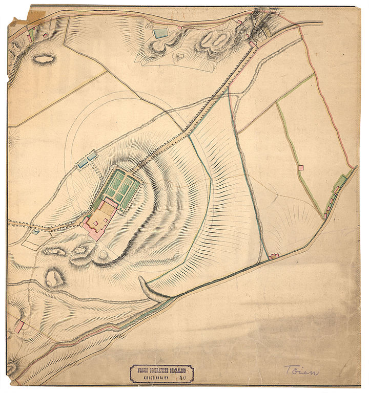
Norsk bokmål: Kart over Eiendommen Tøien (40), 1790 |
||||||||||||||||||||||||||
| Date | |||||||||||||||||||||||||||
| Source |
|
||||||||||||||||||||||||||
| Permission (Reusing this file) |
This file is licensed under the Creative Commons Attribution 4.0 International license.
|
||||||||||||||||||||||||||
| Geotemporal data | |||||||||||||||||||||||||||
| Date depicted | |||||||||||||||||||||||||||
| Map location | Oslo,Oslo and the surroundings (Oslo,Oslo og omegn,Oslo and the surroundings) | ||||||||||||||||||||||||||
| Scale | 1:2,000 | ||||||||||||||||||||||||||
| Georeferencing | If inappropriate please set warp_status = skip to hide. | ||||||||||||||||||||||||||
| Bibliographic data | |||||||||||||||||||||||||||
| Part of the series | Category:Christiania - Kristiania - Oslo | ||||||||||||||||||||||||||
| Map sheet | 40 | ||||||||||||||||||||||||||
| Language | Norwegian | ||||||||||||||||||||||||||
| Archival data | |||||||||||||||||||||||||||
| Collection |
|
||||||||||||||||||||||||||
| Accession number | |||||||||||||||||||||||||||
| Medium | drawing | ||||||||||||||||||||||||||
File history
Click on a date/time to view the file as it appeared at that time.
| Date/Time | Thumbnail | Dimensions | User | Comment | |
|---|---|---|---|---|---|
| current | 07:34, 30 October 2015 | | 4,606 × 4,910 (3.5 MB) | Artturimatias (talk | contribs) | GWToolset: Creating mediafile for Artturimatias. |
You cannot overwrite this file.
File usage on Commons
There are no pages that use this file.
,_1790.jpg&oldid=520116911)