File:Kart over den østlige Del af kristiania Havn (78-1), 1901.jpg

Size of this preview: 800 × 573 pixels. Other resolutions: 320 × 229 pixels | 640 × 459 pixels | 1,024 × 734 pixels | 1,280 × 917 pixels | 2,560 × 1,834 pixels | 10,512 × 7,531 pixels.
Original file (10,512 × 7,531 pixels, file size: 9.16 MB, MIME type: image/jpeg)
Captions
Captions
Add a one-line explanation of what this file represents
Summary edit
,_1901.jpg&action=edit§ion=1)
| Warning | The original file is very high-resolution. It might not load properly or could cause your browser to freeze when opened at full size. |
|---|
| Title |
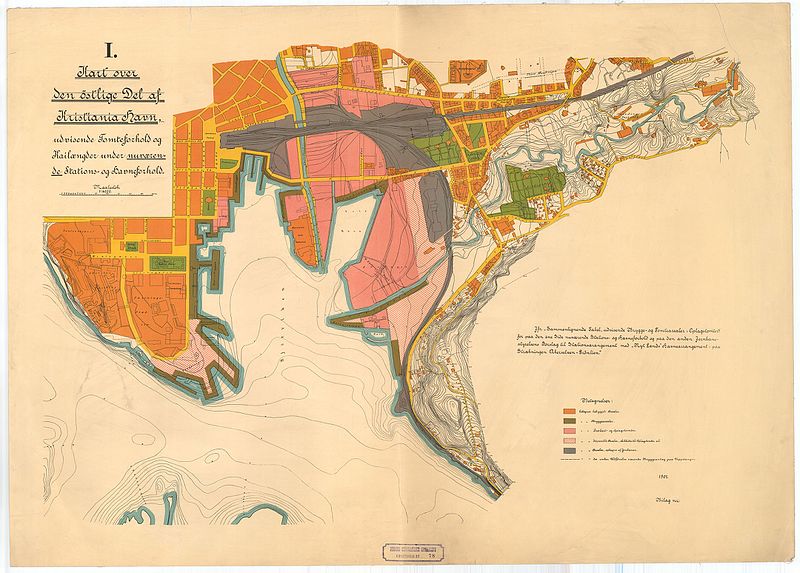
Norsk bokmål: Kart over den østlige Del af kristiania Havn (78-1), 1901 |
||||||||||||||||||||||||||
| Description |
Norsk bokmål: Stationskomitèen af 1899. Trykt ved Norges Geofrafiske Opmaaling 1901 |
||||||||||||||||||||||||||
| Date | |||||||||||||||||||||||||||
| Source |
|
||||||||||||||||||||||||||
| Permission (Reusing this file) |
This file is licensed under the Creative Commons Attribution 4.0 International license.
|
||||||||||||||||||||||||||
| Geotemporal data | |||||||||||||||||||||||||||
| Date depicted | |||||||||||||||||||||||||||
| Map location | Oslo (Oslo,Kristiania) | ||||||||||||||||||||||||||
| Scale | 1:4,000 | ||||||||||||||||||||||||||
| Georeferencing | If inappropriate please set warp_status = skip to hide. | ||||||||||||||||||||||||||
| Bibliographic data | |||||||||||||||||||||||||||
| Part of the series | Category:Christiania - Kristiania - Oslo | ||||||||||||||||||||||||||
| Map sheet | 78-1 | ||||||||||||||||||||||||||
| Language | Norwegian | ||||||||||||||||||||||||||
| Archival data | |||||||||||||||||||||||||||
| Collection |
|
||||||||||||||||||||||||||
| Accession number | |||||||||||||||||||||||||||
File history
Click on a date/time to view the file as it appeared at that time.
| Date/Time | Thumbnail | Dimensions | User | Comment | |
|---|---|---|---|---|---|
| current | 02:00, 31 October 2015 | | 10,512 × 7,531 (9.16 MB) | Artturimatias (talk | contribs) | GWToolset: Creating mediafile for Artturimatias. |
You cannot overwrite this file.
File usage on Commons
There are no pages that use this file.
,_1901.jpg&oldid=670652481)