File:Karte Biosphärenreservat Bliesgau.png

Size of this preview: 450 × 600 pixels. Other resolutions: 180 × 240 pixels | 360 × 480 pixels | 576 × 768 pixels | 1,125 × 1,500 pixels.
Original file (1,125 × 1,500 pixels, file size: 475 KB, MIME type: image/png)
Captions
Captions
Add a one-line explanation of what this file represents
Summary edit
| Description | |
| Date | |
| Source |
Own work, used: |
| Author | Lencer |

|
This map has been made or improved in the German Kartenwerkstatt (Map Lab). You can propose maps to improve as well.
|
Licensing edit
This file is licensed under the Creative Commons Attribution-Share Alike 3.0 Unported license.
- You are free:
- to share – to copy, distribute and transmit the work
- to remix – to adapt the work
- Under the following conditions:
- attribution – You must give appropriate credit, provide a link to the license, and indicate if changes were made. You may do so in any reasonable manner, but not in any way that suggests the licensor endorses you or your use.
- share alike – If you remix, transform, or build upon the material, you must distribute your contributions under the same or compatible license as the original.
File history
Click on a date/time to view the file as it appeared at that time.
| Date/Time | Thumbnail | Dimensions | User | Comment | |
|---|---|---|---|---|---|
| current | 17:49, 30 June 2009 | | 1,125 × 1,500 (475 KB) | Lencer (talk | contribs) | SL => SAARLAND |
| 18:35, 25 June 2009 |  | 1,125 × 1,500 (481 KB) | Lencer (talk | contribs) | Keine Verbesserung der Karte | |
| 14:47, 25 June 2009 |  | 1,125 × 1,500 (475 KB) | Lantus (talk | contribs) | typo | |
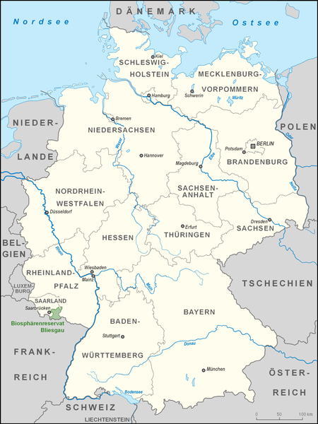
| 14:53, 7 June 2009 |  | 1,125 × 1,500 (481 KB) | Lencer (talk | contribs) | {{Information |Description= Karte des Biosphärenreservates Bliesgau in Deutschland |Source="own work", used: * Image:Karte Biosphärenreservate Deutschland high.png by Lencer |
You cannot overwrite this file.
File usage on Commons
The following 2 pages use this file:
File usage on other wikis
The following other wikis use this file:
- Usage on da.wikipedia.org
- Usage on de.wikipedia.org
- Usage on www.wikidata.org