File:Karte Bleichsee Loewenstein 1750s.jpg
Size of this preview: 800 × 533 pixels. Other resolutions: 320 × 213 pixels | 640 × 427 pixels | 1,024 × 683 pixels | 1,200 × 800 pixels.
Original file (1,200 × 800 pixels, file size: 432 KB, MIME type: image/jpeg)
Captions
Captions
Add a one-line explanation of what this file represents
Summary edit
| Description |
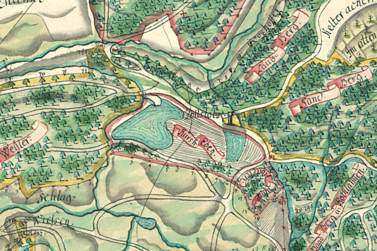
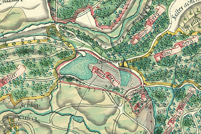
Deutsch: Karte des Bleichsees bei Löwenstein, entstanden zwischen 1751 und 1759 (StAWt F K 263, Ausschnitt). Süden ist (ungefähr) oben. |
| Date | between 1751 and 1759 |
| Source | cropped from File:Karte von Löwenstein und Umgebung 1750s.jpg |
| Author | Unknown author |
Licensing edit
|
This work is in the public domain in its country of origin and other countries and areas where the copyright term is the author's life plus 100 years or fewer. | |
| This file has been identified as being free of known restrictions under copyright law, including all related and neighboring rights. | |
File history
Click on a date/time to view the file as it appeared at that time.
| Date/Time | Thumbnail | Dimensions | User | Comment | |
|---|---|---|---|---|---|
| current | 18:03, 1 May 2012 | | 1,200 × 800 (432 KB) | Rosenzweig (talk | contribs) | == {{int:filedesc}} == {{Information |Description={{de|Karte des Bleichsees bei Löwenstein, entstanden zwischen 1751 und 1759 (StAWt F K 263, Ausschnitt) |Source=cropped from File:Karte von Löwenstein und Umgebung 1750s.jpg |Da... |
You cannot overwrite this file.
File usage on Commons
The following page uses this file:
File usage on other wikis
The following other wikis use this file: