File:Karte Deutsches Reich 1892.jpg

Size of this preview: 740 × 599 pixels. Other resolutions: 296 × 240 pixels | 593 × 480 pixels | 948 × 768 pixels | 1,264 × 1,024 pixels | 2,500 × 2,025 pixels.
Original file (2,500 × 2,025 pixels, file size: 2.44 MB, MIME type: image/jpeg)
Captions
Captions
Add a one-line explanation of what this file represents
Summary edit
| Description |
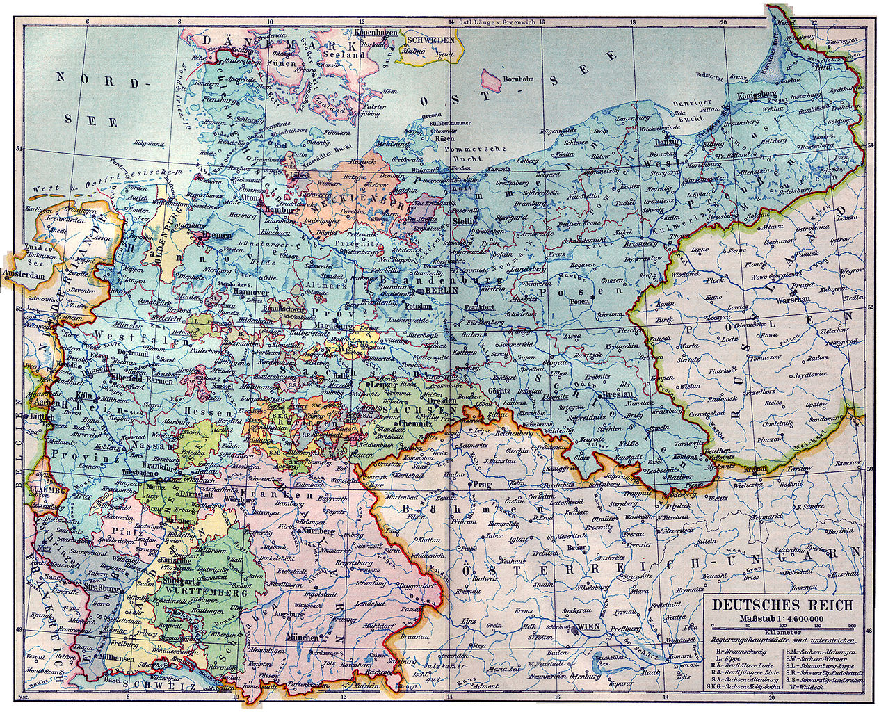
Deutsch: Karte des Deutschen Reiches 1892 English: Map of the German Empire 1892 |
| Date | |
| Source | Meyers Kleines Konversationslexikon. Fünfte, umgearbeitete und vermehrte Auflage. Bd. 1. Bibliographisches Institut, Leipzig und Wien 1892. |
| Author | unbekannt, scan by sidonius 16:02, 7 November 2006 (UTC) |
| Permission (Reusing this file) |
old |
Licensing edit
| This image comes from the 5th edition of Meyers Konversationslexikon (1893-97). The copyrights have expired and this image is in the public domain. | 
|
This work was published before January 1, 1899 and it is anonymous or pseudonymous due to unknown authorship. It is in the public domain in the United States as well as countries and areas where the copyright terms of anonymous or pseudonymous works are 125 years or fewer since publication.
|
File history
Click on a date/time to view the file as it appeared at that time.
| Date/Time | Thumbnail | Dimensions | User | Comment | |
|---|---|---|---|---|---|
| current | 16:02, 7 November 2006 | | 2,500 × 2,025 (2.44 MB) | Sidonius (talk | contribs) | {{Information |Description=Karte des Deutschen Reiches 1892 |Source=Meyers Kleines Konversationslexikon. Fünfte, umgearbeitete und vermehrte Auflage. Bd. 1. Bibliographisches Institut, Leipzig und Wien 1892. |Date=1892 |Author=unb |
You cannot overwrite this file.
File usage on Commons
There are no pages that use this file.
File usage on other wikis
The following other wikis use this file:
- Usage on de.wikipedia.org
- Usage on et.wikipedia.org
- Usage on pl.wikipedia.org