File:Karte Mützelburglager.jpg

Size of this preview: 772 × 600 pixels. Other resolutions: 309 × 240 pixels | 618 × 480 pixels | 989 × 768 pixels | 1,280 × 994 pixels | 2,190 × 1,701 pixels.
Original file (2,190 × 1,701 pixels, file size: 252 KB, MIME type: image/jpeg)
Captions
Captions
Add a one-line explanation of what this file represents
Summary edit
| Description |
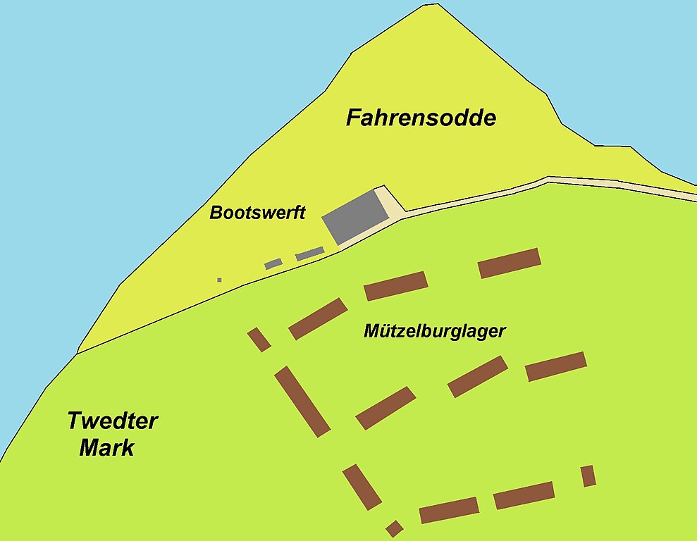
Deutsch: Kartenskizze vom Mützelburglager mit Blick auf die Karte StaFl XIV K/P 2963ff im Stadtarchiv erstellt mit leichtem Blick auf aktuelle Situation dort hinsichtlich Vervollständigung der Küstenlinie usw. |
| Date | |
| Source | Own work |
| Author | Soenke Rahn |
Licensing edit
I, the copyright holder of this work, hereby publish it under the following license:
This file is licensed under the Creative Commons Attribution-Share Alike 4.0 International license.
- You are free:
- to share – to copy, distribute and transmit the work
- to remix – to adapt the work
- Under the following conditions:
- attribution – You must give appropriate credit, provide a link to the license, and indicate if changes were made. You may do so in any reasonable manner, but not in any way that suggests the licensor endorses you or your use.
- share alike – If you remix, transform, or build upon the material, you must distribute your contributions under the same or compatible license as the original.
File history
Click on a date/time to view the file as it appeared at that time.
| Date/Time | Thumbnail | Dimensions | User | Comment | |
|---|---|---|---|---|---|
| current | 21:12, 30 April 2018 | | 2,190 × 1,701 (252 KB) | Soenke Rahn (talk | contribs) | cut |
| 20:21, 30 April 2018 |  | 2,213 × 1,829 (255 KB) | Soenke Rahn (talk | contribs) | User created page with UploadWizard |
You cannot overwrite this file.
File usage on Commons
There are no pages that use this file.
File usage on other wikis
The following other wikis use this file:
- Usage on de.wikipedia.org