File:Karte Michendorf Ortsteil Fresdorf.png
Size of this preview: 499 × 600 pixels. Other resolutions: 200 × 240 pixels | 399 × 480 pixels | 998 × 1,200 pixels.
Original file (998 × 1,200 pixels, file size: 299 KB, MIME type: image/png)
Captions
Captions
Add a one-line explanation of what this file represents
Summary edit
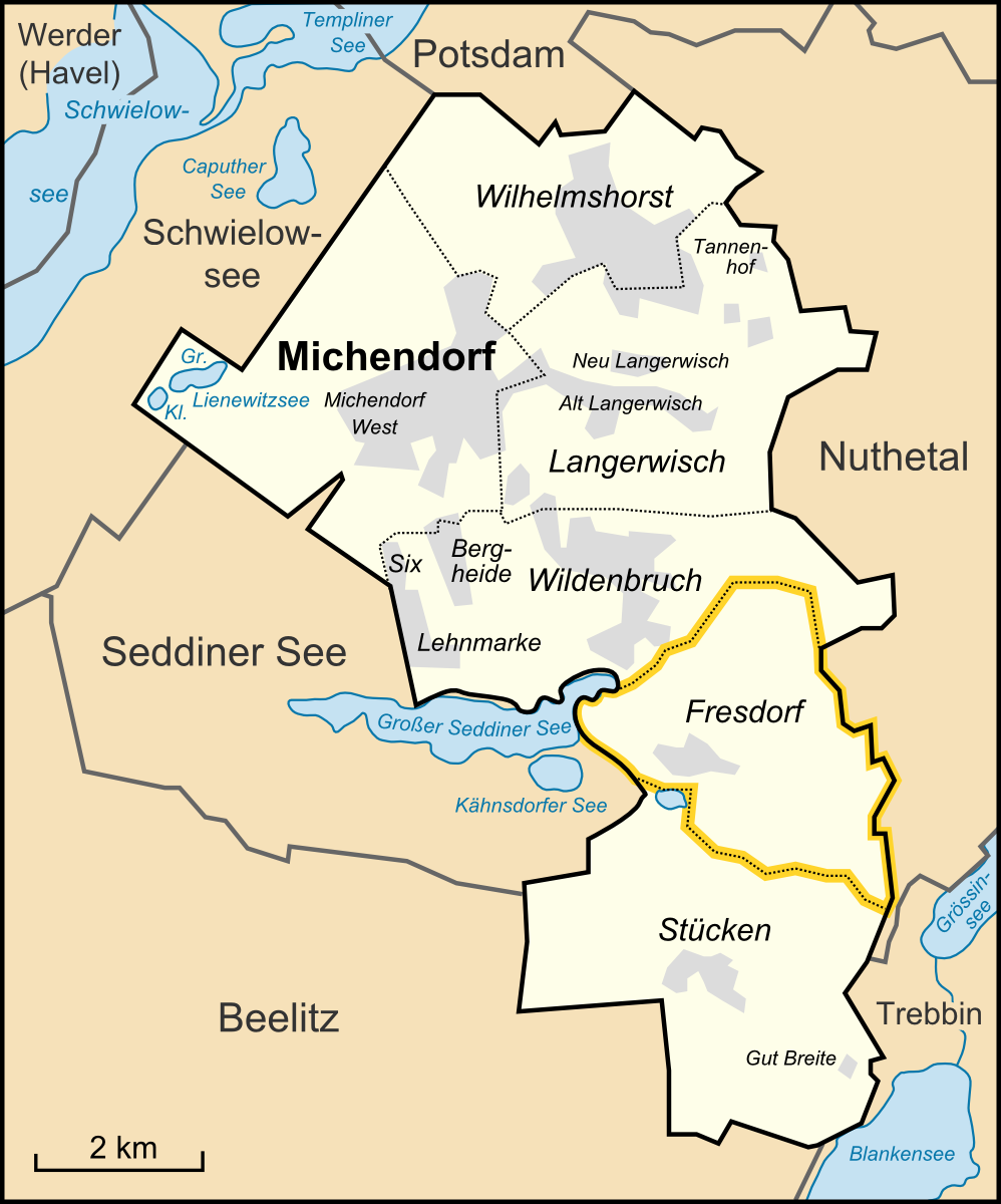
| Description | Karte des Ortsteils Fresdorf der Gemeinde Michendorf im Landkreis Potsdam Mittelmark in Brandenburg, Deutschland |
| Date | |
| Source | "own work", used Karte Michendorf Ortsteile Nachbargemeinden.png by Lencer (talk) |
| Author | Lencer |
Licensing edit
This file is licensed under the Creative Commons Attribution-Share Alike 3.0 Unported license.
- You are free:
- to share – to copy, distribute and transmit the work
- to remix – to adapt the work
- Under the following conditions:
- attribution – You must give appropriate credit, provide a link to the license, and indicate if changes were made. You may do so in any reasonable manner, but not in any way that suggests the licensor endorses you or your use.
- share alike – If you remix, transform, or build upon the material, you must distribute your contributions under the same or compatible license as the original.
File history
Click on a date/time to view the file as it appeared at that time.
| Date/Time | Thumbnail | Dimensions | User | Comment | |
|---|---|---|---|---|---|
| current | 05:52, 8 June 2010 | | 998 × 1,200 (299 KB) | Lencer (talk | contribs) | {{Information |Description= Karte des Ortsteils Fresdorf der Gemeinde Michendorf im Landkreis Potsdam Mittelmark in Brandenburg, Deutschland | |
You cannot overwrite this file.
File usage on Commons
The following page uses this file:
File usage on other wikis
The following other wikis use this file: