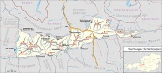
File:Karte Salzburger Schieferalpen.png

Size of this preview: 800 × 360 pixels. Other resolutions: 320 × 144 pixels | 640 × 288 pixels | 1,024 × 461 pixels | 1,280 × 576 pixels | 3,813 × 1,717 pixels.
Original file (3,813 × 1,717 pixels, file size: 1.6 MB, MIME type: image/png)
Captions
Captions
Add a one-line explanation of what this file represents
Summary edit
| Description |
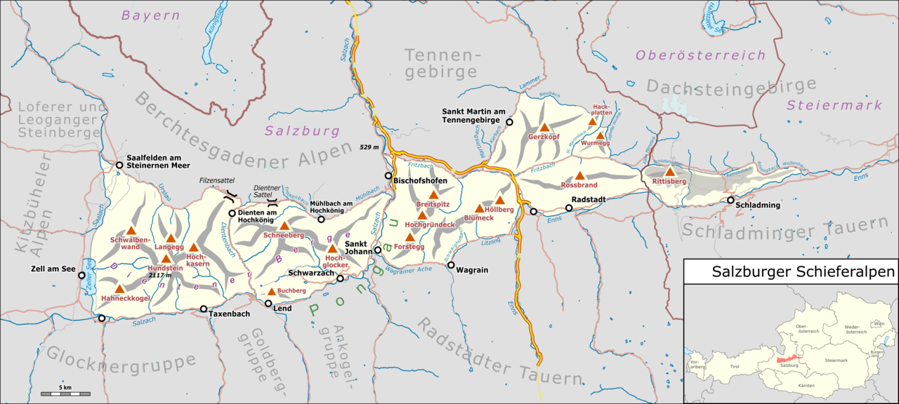
Deutsch: Übersichtskarte der Salzburger Schieferalpen. |
|||||||||
| Date | ||||||||||
| Source |
Own work Map was created using:
|
|||||||||
| Creator |
|
|||||||||
| Permission (Reusing this file) |
Map data (c) OpenStreetMap (and) contributors, CC-BY-SA | |||||||||
| Geotemporal data | ||||||||||
| Bounding box |
|
|||||||||
| Georeferencing | ||||||||||
| This work is licensed under the Open Database License (summary). |
File history
Click on a date/time to view the file as it appeared at that time.
| Date/Time | Thumbnail | Dimensions | User | Comment | |
|---|---|---|---|---|---|
| current | 15:55, 12 February 2022 | | 3,813 × 1,717 (1.6 MB) | Pechristener (talk | contribs) | Typos behoben |
| 20:17, 11 February 2022 |  | 3,813 × 1,717 (1.6 MB) | Pechristener (talk | contribs) | Typos korrigiert | |
| 15:27, 23 February 2019 |  | 4,068 × 1,832 (1.72 MB) | Pechristener (talk | contribs) | == {{int:filedesc}} == {{Map |Description={{de|1=Übersichtskarte des {{w|Salzburger Schieferalpen|Salzburger Schieferalpen|de}}. }} |Source ={{own}} Map was created using: *[http://www.openstreetmap.org/ Open Street Map] Data *{{f|Austria, administrative divisions - de-.svg}} for location map |Author = *Hauptkarte: Pechristener *{{f|Austria, administrative divisions - de-.svg}} : TUBS |Date =2019-02-23 |Permission =Map dat... |
You cannot overwrite this file.
File usage on Commons
The following 3 pages use this file:
File usage on other wikis
The following other wikis use this file:
- Usage on de.wikipedia.org
- Usage on it.wikipedia.org
- Usage on sl.wikipedia.org
- Usage on www.wikidata.org