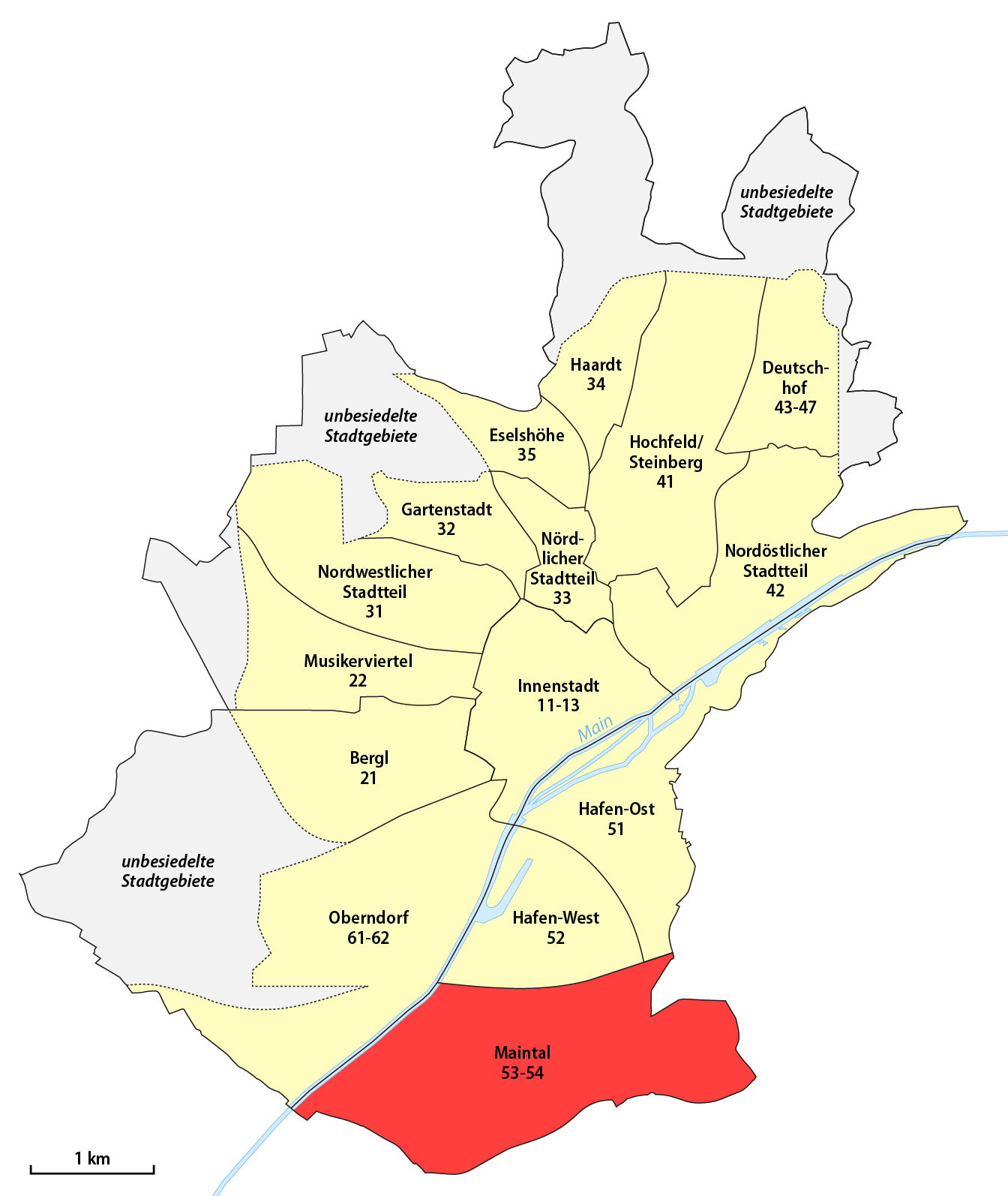
File:Karte Schweinfurt, Stadtteil 53-54 Maintal.png
Size of this preview: 505 × 599 pixels. Other resolutions: 202 × 240 pixels | 405 × 480 pixels | 647 × 768 pixels | 863 × 1,024 pixels | 1,344 × 1,594 pixels.
Original file (1,344 × 1,594 pixels, file size: 188 KB, MIME type: image/png)
Captions
Captions
Add a one-line explanation of what this file represents
Summary edit
| Description |
|
| Date | see file history |
| Source |
Own work using:
|
| Author | Maximilian Dörrbecker (Chumwa) |
| Permission (Reusing this file) |
All OpenStreetMap data and maps are Creative Commons "CC-BY-SA 2.0" licensed This file is licensed under the Creative Commons Attribution-Share Alike 2.0 Generic license.
|
File history
Click on a date/time to view the file as it appeared at that time.
| Date/Time | Thumbnail | Dimensions | User | Comment | |
|---|---|---|---|---|---|
| current | 19:09, 7 February 2018 | | 1,344 × 1,594 (188 KB) | Chumwa (talk | contribs) |
You cannot overwrite this file.
File usage on Commons
The following page uses this file:
File usage on other wikis
The following other wikis use this file:
- Usage on de.wikipedia.org
- Usage on www.wikidata.org