File:Karte Vizentiner Alpen.png

Size of this preview: 659 × 600 pixels. Other resolutions: 264 × 240 pixels | 527 × 480 pixels | 844 × 768 pixels | 1,125 × 1,024 pixels | 2,250 × 2,048 pixels | 5,255 × 4,783 pixels.
Original file (5,255 × 4,783 pixels, file size: 7.19 MB, MIME type: image/png)
Captions
Captions
Add a one-line explanation of what this file represents
Summary
edit
| Description |
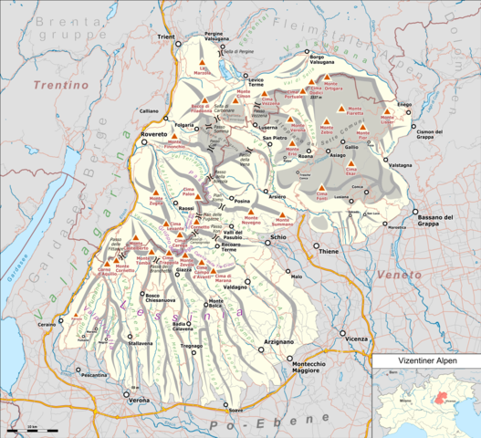
Deutsch: Übersichtskarte der Vizentiner Alpen. |
|||||||||
| Date | ||||||||||
| Source |
Own work Map was created using:
|
|||||||||
| Creator |
|
|||||||||
| Permission (Reusing this file) |
Map data (c) OpenStreetMap (and) contributors, CC-BY-SA | |||||||||
| Geotemporal data | ||||||||||
| Bounding box |
|
|||||||||
| Georeferencing | ||||||||||
Licensing
edit
I, the copyright holder of this work, hereby publish it under the following license:
This file is licensed under the Creative Commons Attribution 3.0 Unported license.
- You are free:
- to share – to copy, distribute and transmit the work
- to remix – to adapt the work
- Under the following conditions:
- attribution – You must give appropriate credit, provide a link to the license, and indicate if changes were made. You may do so in any reasonable manner, but not in any way that suggests the licensor endorses you or your use.
| This work is licensed under the Open Database License (summary). |
File history
Click on a date/time to view the file as it appeared at that time.
| Date/Time | Thumbnail | Dimensions | User | Comment | |
|---|---|---|---|---|---|
| current | 18:44, 5 February 2019 | | 5,255 × 4,783 (7.19 MB) | Pechristener (talk | contribs) | Höhe Cima XII auf 2337 m korrigiert gemäss Angaben des lokalen GIS. |
| 02:07, 5 February 2019 |  | 5,255 × 4,783 (7.19 MB) | Pechristener (talk | contribs) | == {{int:filedesc}} == {{Map |Description={{de|1=Übersichtskarte der {{w|Vizentiner Alpen||de}}}} |Source ={{own}} Map was created using: *[http://www.openstreetmap.org/ Open Street Map] *Italy_North_location_map.svg for location map |Author = *Artwork: Pechristener *Location map: File:Italy_North_location_map.svg: NordNordWest |Date =2019-02... |
You cannot overwrite this file.
File usage on Commons
The following 3 pages use this file:
File usage on other wikis
The following other wikis use this file:
- Usage on de.wikipedia.org
- Pasubio
- Becco di Filadonna
- Vizentiner Alpen
- Cima Dodici
- Liste der Gebirgsgruppen in den Ostalpen (nach AVE)
- Benutzer:Robertk9410/Artikelentwurf
- Rifugio Vincenzo Lancia
- Rifugio Achille Papa
- Rifugio Mario Fraccaroli
- Rifugio Finonchio – „Fratelli Filzi“
- Vorlage:Positionskarte Vizentiner Alpen
- Rifugio Campogrosso
- Caregagruppe
- Cima Carega
- Italienische Platte
- Österreichische Platte
- Rifugio Casarota
- Bivacco Marzotto-Sacchi
- Benutzer Diskussion:Pechristener/Alpenkarten
- Rifugio Bindesi
- Usage on it.wikipedia.org
- Usage on uk.wikipedia.org
- Usage on vec.wikipedia.org
- Usage on www.wikidata.org