File:Karte vom heiligen lande (FL32713915 3877876).jpg

Size of this preview: 800 × 595 pixels. Other resolutions: 320 × 238 pixels | 640 × 476 pixels | 1,024 × 761 pixels | 1,280 × 952 pixels | 2,560 × 1,904 pixels | 6,212 × 4,619 pixels.
Original file (6,212 × 4,619 pixels, file size: 34.64 MB, MIME type: image/jpeg)
Captions
Captions
Add a one-line explanation of what this file represents
Summary
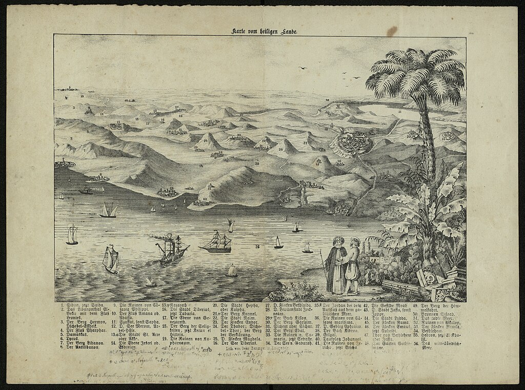
edit| Karte vom heiligen lande
( |
||||||||||||||||||||||||
|---|---|---|---|---|---|---|---|---|---|---|---|---|---|---|---|---|---|---|---|---|---|---|---|---|
| Title |
Karte vom heiligen lande |
|||||||||||||||||||||||
| Publisher |
publisher not identified |
|||||||||||||||||||||||
| Description |
Karte vom heiligen lande.. |
|||||||||||||||||||||||
| Language | Latin | |||||||||||||||||||||||
| Publication date | 1840 | |||||||||||||||||||||||
| Medium | 1 online resource (1 map). | |||||||||||||||||||||||
| Collection |
|
|||||||||||||||||||||||
| Current location |
|
|||||||||||||||||||||||
| Place of publication | unknown | |||||||||||||||||||||||
| search Merhav catalog | unknown | |||||||||||||||||||||||
| Notes | Digital image of the original in Amir Cahanovitc Collection, Israel. ACC 1609.; Bird's eye view.; Includes index. | |||||||||||||||||||||||
| IE PID | IE32713913 | |||||||||||||||||||||||
| Rosetta filename | FL32713915 | |||||||||||||||||||||||
| NNL item ID (P3959) | 990038778760205171 | |||||||||||||||||||||||
| search Merhav catalog | Latin | |||||||||||||||||||||||
| search Merhav catalog | publisher not identified | |||||||||||||||||||||||
| Source/Photographer |
|
|||||||||||||||||||||||
| Other versions | ||||||||||||||||||||||||
| Jpg / Tif version |
|
|||||||||||||||||||||||

.jpg)

.jpg&action=edit§ion=1)
Licensing
edit.jpg&action=edit§ion=2)
The copyright situation of this work is theoretically uncertain, because in the country of origin copyright lasts 70 years after the death of the author, and the date of the author's death is unknown. However, the date of creation of the work was over 120 years ago, and it is thus a reasonable assumption that the copyright has expired (see here for the community discussion). Do not use this template if the date of death of the author is known.
| |
| This file has been identified as being free of known restrictions under copyright law, including all related and neighboring rights. | |
File history
Click on a date/time to view the file as it appeared at that time.
| Date/Time | Thumbnail | Dimensions | User | Comment | |
|---|---|---|---|---|---|
| current | 15:28, 17 August 2023 | | 6,212 × 4,619 (34.64 MB) | Geagea (talk | contribs) | pattypan 22.03 |
You cannot overwrite this file.
File usage on Commons
The following page uses this file:
.jpg&oldid=806840047)