File:Katsura Imperial Villa Aerial Photograph 20200819.jpg

Size of this preview: 800 × 600 pixels. Other resolutions: 320 × 240 pixels | 640 × 480 pixels | 960 × 720 pixels.
Original file (960 × 720 pixels, file size: 109 KB, MIME type: image/jpeg)
Captions
Captions
Add a one-line explanation of what this file represents
Summary
edit
| Description |
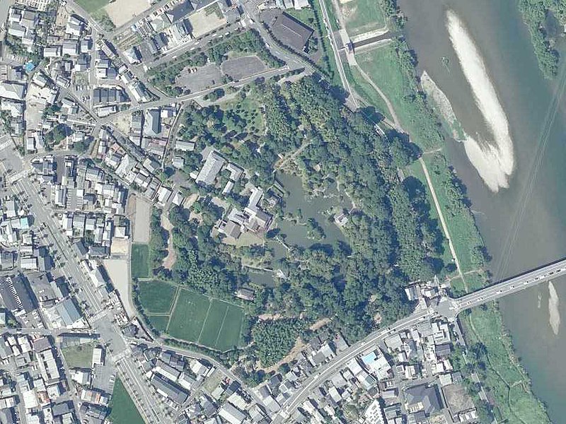
日本語: 桂離宮の空中写真。国土地理院空中写真CKK7415-C8B-4の一部を切り取り加工。 |
| Date | |
| Source | 国土地理院航空写真 https://mapps.gsi.go.jp/ |
| Author | 国土交通省 国土地理院 |
Licensing
edit

|
This work is licensed under the Government of Japan Standard Terms of Use (Ver.2.0). The Terms of Use are compatible with the Creative Commons Attribution License 4.0 International. For the terms of use of this work, see this license page.
|
This file is licensed under the Creative Commons Attribution 4.0 International license.
Attribution: 国土地理院 (GSI)
- You are free:
- to share – to copy, distribute and transmit the work
- to remix – to adapt the work
- Under the following conditions:
- attribution – You must give appropriate credit, provide a link to the license, and indicate if changes were made. You may do so in any reasonable manner, but not in any way that suggests the licensor endorses you or your use.
File history
Click on a date/time to view the file as it appeared at that time.
| Date/Time | Thumbnail | Dimensions | User | Comment | |
|---|---|---|---|---|---|
| current | 00:50, 22 May 2022 | | 960 × 720 (109 KB) | Narenko (talk | contribs) | Uploaded a work by 国土交通省 国土地理院 from 国土地理院航空写真 https://mapps.gsi.go.jp/ with UploadWizard |
You cannot overwrite this file.
File usage on Commons
There are no pages that use this file.