File:Kentucky Bend from New Madrid.jpg

Size of this preview: 800 × 450 pixels. Other resolutions: 320 × 180 pixels | 640 × 360 pixels | 1,024 × 576 pixels | 1,280 × 720 pixels | 2,816 × 1,584 pixels.
Original file (2,816 × 1,584 pixels, file size: 987 KB, MIME type: image/jpeg)
Captions
Captions
Add a one-line explanation of what this file represents
| Camera location | | View this and other nearby images on: OpenStreetMap |
|---|
| Description |
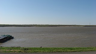
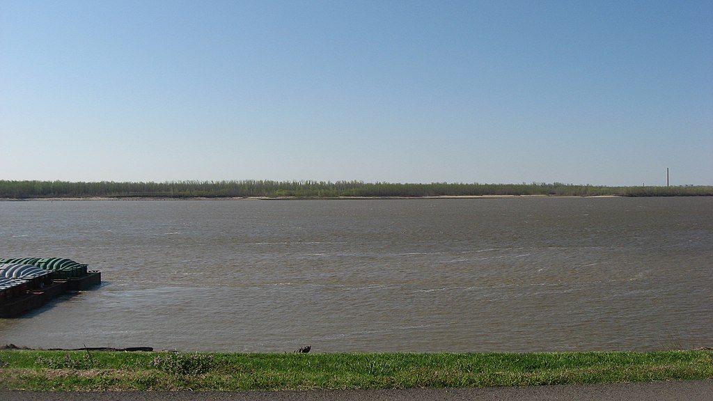
English: Northern shore of the Kentucky Bend, seen from the levee-top street in New Madrid, Missouri, United States. |
||
| Date | Taken on 12 April 2013 | ||
| Source | Own work | ||
| Author | Nyttend | ||
| Permission (Reusing this file) |
|
File history
Click on a date/time to view the file as it appeared at that time.
| Date/Time | Thumbnail | Dimensions | User | Comment | |
|---|---|---|---|---|---|
| current | 21:47, 17 April 2013 | | 2,816 × 1,584 (987 KB) | Nyttend (talk | contribs) | {{Location|36|35|0.6|N|89|31|40|W}} {{Information |Description={{en|Northern shore of the {{w|Kentucky Bend}}, seen from the levee-top street in {{w|New Madrid, Missouri|New Madrid}}, {{w|Missouri}}, {{w|United States}}.}} |Source={{own}} |Date=2013-04... |
You cannot overwrite this file.
File usage on Commons
There are no pages that use this file.