File:Kiesersche Forstkarte Nr. 112 Örlebach (südlich von Flein).jpg

Size of this preview: 800 × 589 pixels. Other resolutions: 320 × 236 pixels | 640 × 471 pixels | 1,024 × 754 pixels.
Original file (1,024 × 754 pixels, file size: 147 KB, MIME type: image/jpeg)
Captions
Captions
Add a one-line explanation of what this file represents
Summary
edit.jpg&action=edit§ion=1)
| Description |
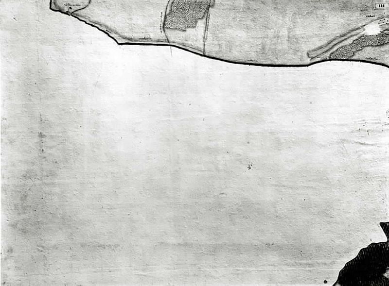
Deutsch: Ausschnitt aus der Kieserschen Forstkarte.
Originaltitel des Landesmedienzentrums: „Örlebach (südlich von Flein)“ (Nr. 112). Originalbeschreibung: „Mit dem Landgraben und dem Hausener Landturm (Wüstenhausen) und einem Zollstock. Grenzblatt. Die leere Fläche liegt außerhalb des Herzogtums Württemberg.” English: Clip of Andreas Kieser’s forest map |
||||||||||||||||||||||||||||||||||||||
| Date | |||||||||||||||||||||||||||||||||||||||
| Source | leo-bw.de/Fotoarchiv des Landesmedienzentrums Baden-Württemberg | ||||||||||||||||||||||||||||||||||||||
| Author |
drawer:
|
||||||||||||||||||||||||||||||||||||||
| Permission (Reusing this file) |
|
||||||||||||||||||||||||||||||||||||||
File history
Click on a date/time to view the file as it appeared at that time.
| Date/Time | Thumbnail | Dimensions | User | Comment | |
|---|---|---|---|---|---|
| current | 11:59, 1 December 2012 | | 1,024 × 754 (147 KB) | Dealerofsalvation (talk | contribs) |
You cannot overwrite this file.
File usage on Commons
There are no pages that use this file.
.jpg&oldid=805202122)