File:Kitanomaru Park -Tayasu-mon.jpg
Size of this preview: 800 × 600 pixels. Other resolutions: 320 × 240 pixels | 640 × 480 pixels | 1,024 × 768 pixels | 1,280 × 960 pixels | 2,560 × 1,920 pixels | 4,000 × 3,000 pixels.
Original file (4,000 × 3,000 pixels, file size: 6.59 MB, MIME type: image/jpeg)
Captions
Captions
Add a one-line explanation of what this file represents
Summary edit
| Description |
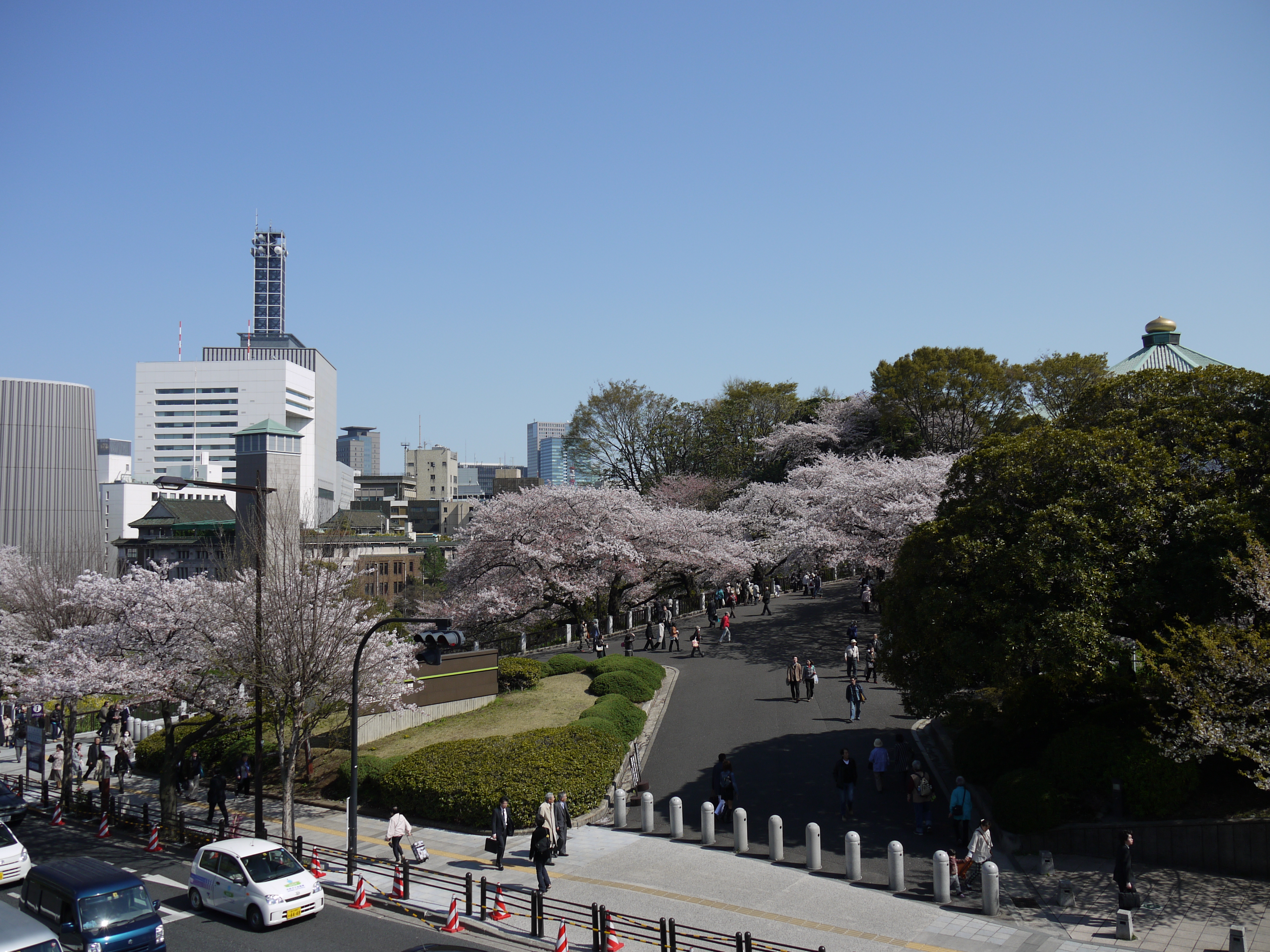
English: Kitanomaru Park seen from the pedestrian bridge at Tayasu-mon crossing
|
| Date | Taken on 12 April 2011, 14:04 |
| Source | Sakura at Kitanomaru Park |
| Author | Yoshikazu Takada |
| Camera location | | View this and other nearby images on: OpenStreetMap |
|---|
Licensing edit
This file is licensed under the Creative Commons Attribution 2.0 Generic license.
Attribution: Yoshikazu Takada
- You are free:
- to share – to copy, distribute and transmit the work
- to remix – to adapt the work
- Under the following conditions:
- attribution – You must give appropriate credit, provide a link to the license, and indicate if changes were made. You may do so in any reasonable manner, but not in any way that suggests the licensor endorses you or your use.
| This image was originally posted to Flickr by Yoshikazu Takada at https://www.flickr.com/photos/34530295@N06/5612246037. It was reviewed on 13 April 2011 by FlickreviewR and was confirmed to be licensed under the terms of the cc-by-2.0. |
File history
Click on a date/time to view the file as it appeared at that time.
| Date/Time | Thumbnail | Dimensions | User | Comment | |
|---|---|---|---|---|---|
| current | 00:04, 13 April 2011 | | 4,000 × 3,000 (6.59 MB) | トトト (talk | contribs) | {{Information |Description={{ja|1=北の丸公園。田安門交差点の歩道橋より東南の方向を見る。--->地図は[http://www.mapion.co.jp/m/35.6917702777778_139.751921944444_10/ こちら]。}}{{en|1=[[:Categor |
You cannot overwrite this file.
File usage on Commons
There are no pages that use this file.