File:Klaudyn rondo sikorskiego.jpg
Size of this preview: 800 × 559 pixels. Other resolutions: 320 × 223 pixels | 640 × 447 pixels | 1,024 × 715 pixels | 1,280 × 894 pixels | 2,560 × 1,787 pixels | 4,426 × 3,090 pixels.
Original file (4,426 × 3,090 pixels, file size: 7.14 MB, MIME type: image/jpeg)
Captions
Captions
Add a one-line explanation of what this file represents
Summary edit
| Description |
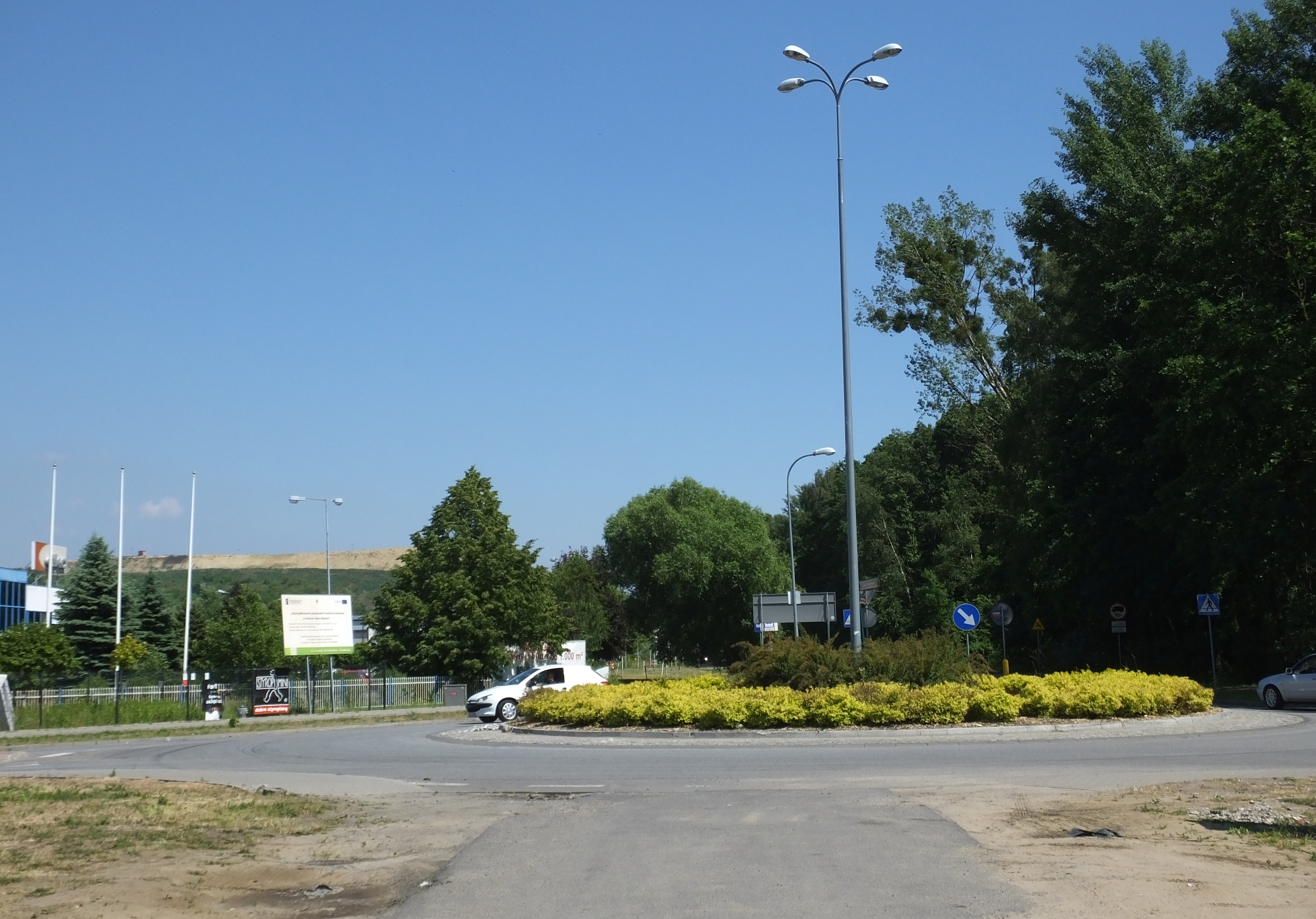
Polski: Klaudyn k. Warszawy. Rondo na skrzyżowaniu ul. Sikorskiego i Ekologicznej. Po prawej Las Bemowski, w głębi wysypisko śmieci Radiowo. |
| Date | |
| Source | Own work |
| Author | Panek |
| Camera location | | View this and other nearby images on: OpenStreetMap |
|---|
Licensing edit
I, the copyright holder of this work, hereby publish it under the following license:
This file is licensed under the Creative Commons Attribution 3.0 Unported license.
- You are free:
- to share – to copy, distribute and transmit the work
- to remix – to adapt the work
- Under the following conditions:
- attribution – You must give appropriate credit, provide a link to the license, and indicate if changes were made. You may do so in any reasonable manner, but not in any way that suggests the licensor endorses you or your use.
File history
Click on a date/time to view the file as it appeared at that time.
| Date/Time | Thumbnail | Dimensions | User | Comment | |
|---|---|---|---|---|---|
| current | 18:42, 14 June 2015 | | 4,426 × 3,090 (7.14 MB) | Panek (talk | contribs) | {{Information |Description ={{pl|1=Klaudyn k. Warszawy. Rondo na skrzyżowaniu ul. Sikorskiego i Ekologicznej. Po prawej Las Bemowski, w głębi wysypisko śmieci Radiowo.}} |Source ={{own}} |Author =Panek |Date... |
You cannot overwrite this file.
File usage on Commons
There are no pages that use this file.