File:Klaverberg As Ferrariskaart.jpg

Size of this preview: 800 × 490 pixels. Other resolutions: 320 × 196 pixels | 640 × 392 pixels | 1,024 × 627 pixels | 1,295 × 793 pixels.
Original file (1,295 × 793 pixels, file size: 219 KB, MIME type: image/jpeg)
Captions
Captions
Add a one-line explanation of what this file represents
Summary
edit
| Description |
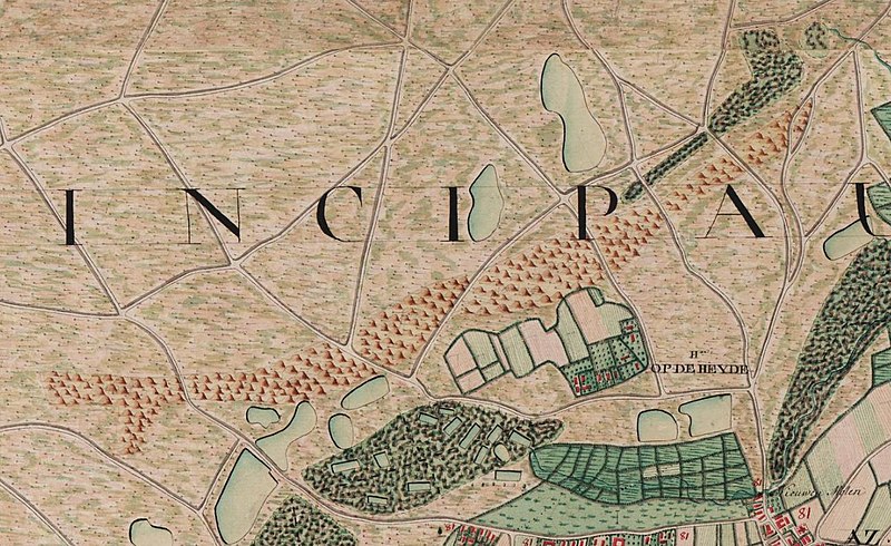
Nederlands: Klaverberg, landduin in As op 18de eeuwse Ferrariskaart |
| Date | |
| Source |
Ferraris Kabinetskaart van de Oostenrijkse Nederlanden, opgemaakt door graaf Ferraris, https://uurl.kbr.be/1028543 |
| Author | Graaf Ferraris |
| Camera location | | View this and other nearby images on: OpenStreetMap |
|---|
Licensing
edit
|
This work is in the public domain in its country of origin and other countries and areas where the copyright term is the author's life plus 70 years or fewer. This work is in the public domain in the United States because it was published (or registered with the U.S. Copyright Office) before January 1, 1929. | |
| This file has been identified as being free of known restrictions under copyright law, including all related and neighboring rights. | |
File history
Click on a date/time to view the file as it appeared at that time.
| Date/Time | Thumbnail | Dimensions | User | Comment | |
|---|---|---|---|---|---|
| current | 14:16, 30 May 2019 | | 1,295 × 793 (219 KB) | Eebie (talk | contribs) | User created page with UploadWizard |
You cannot overwrite this file.
File usage on Commons
There are no pages that use this file.
File usage on other wikis
The following other wikis use this file:
- Usage on nl.wikipedia.org