File:Kokudo-chiriin kōkūshashin CKU20201-C26-39 part 20230820.jpg

Size of this preview: 337 × 599 pixels. Other resolutions: 135 × 240 pixels | 270 × 480 pixels | 432 × 768 pixels | 576 × 1,024 pixels | 1,296 × 2,304 pixels.
Original file (1,296 × 2,304 pixels, file size: 496 KB, MIME type: image/jpeg)
Captions
Captions
Add a one-line explanation of what this file represents
Summary edit
| Description |
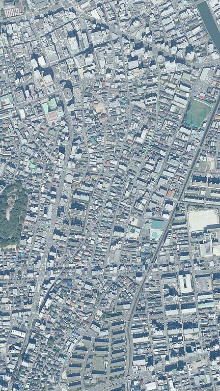
日本語: 2020年10月7日撮影の福岡市早良区曙周辺の国土地理院航空写真、国土地理院地図・空中写真閲覧サービス( https://mapps.gsi.go.jp/ )のCKU20201-C26-39を加工して作成 |
| Date | |
| Source | 国土地理院地図・空中写真閲覧サービス( https://mapps.gsi.go.jp/ )のCKU20201-C26-39を加工して作成 |
| Author | 国土交通省国土地理院 |
| Camera location | | View this and other nearby images on: OpenStreetMap |
|---|
Licensing edit

|
This work is licensed under the Government of Japan Standard Terms of Use (Ver.2.0). The Terms of Use are compatible with the Creative Commons Attribution License 4.0 International. For terms of use this work, see this license page.
|
This file is licensed under the Creative Commons Attribution 4.0 International license.
Attribution: 国土地理院 (GSI)
- You are free:
- to share – to copy, distribute and transmit the work
- to remix – to adapt the work
- Under the following conditions:
- attribution – You must give appropriate credit, provide a link to the license, and indicate if changes were made. You may do so in any reasonable manner, but not in any way that suggests the licensor endorses you or your use.
File history
Click on a date/time to view the file as it appeared at that time.
| Date/Time | Thumbnail | Dimensions | User | Comment | |
|---|---|---|---|---|---|
| current | 13:49, 20 August 2023 | | 1,296 × 2,304 (496 KB) | Hirho (talk | contribs) | Uploaded a work by 国土交通省国土地理院 from 国土地理院地図・空中写真閲覧サービス( https://mapps.gsi.go.jp/ )のCKU20201-C26-39を加工して作成 with UploadWizard |
You cannot overwrite this file.
File usage on Commons
There are no pages that use this file.
File usage on other wikis
The following other wikis use this file:
- Usage on ja.wikipedia.org