File:Korczew (gmina) location map.png

Size of this preview: 797 × 599 pixels. Other resolutions: 319 × 240 pixels | 639 × 480 pixels | 899 × 676 pixels.
Original file (899 × 676 pixels, file size: 237 KB, MIME type: image/png)
Captions
Captions
Add a one-line explanation of what this file represents
| Description |
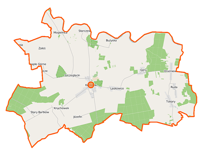
Polski: Mapa gminy Korczew, Polska
English: Map of Gmina Korczew, Poland |
|||||||||
| Date | ||||||||||
| Source | You may find a page on the OpenStreetMap wiki page for Korczew (gmina) | |||||||||
| Creator |
OpenStreetMap contributors OpenStreetMap contributors |
|||||||||
| Permission (Reusing this file) |
OpenStreetMap data is available under the Open Database License (details). Map tiles are licensed under the Creative Commons Attribution-ShareAlike 2.0 license (CC-BY-SA 2.0).
This file is licensed under the Creative Commons Attribution-Share Alike 2.0 Generic license.
|
|||||||||
| Geotemporal data | ||||||||||
| Bounding box |
|
|||||||||
| Georeferencing | If inappropriate please set warp_status = skip to hide. | |||||||||
File history
Click on a date/time to view the file as it appeared at that time.
| Date/Time | Thumbnail | Dimensions | User | Comment | |
|---|---|---|---|---|---|
| current | 09:33, 6 October 2014 | | 899 × 676 (237 KB) | VanWiel (talk | contribs) | {{OpenStreetMap | name = Korczew (gmina) | location = Korczew (gmina) | description = {{pl|Mapa gminy Korczew, Polska}} {{en|Map of Gmina Korczew, Poland}} | top = 52.4165 | left = 22.5024 | right... |
You cannot overwrite this file.
File usage on Commons
There are no pages that use this file.
File usage on other wikis
The following other wikis use this file:
- Usage on fr.wikipedia.org
- Usage on pl.wikipedia.org
- Korczew (gmina)
- Bużyska
- Czaple Górne
- Drażniew
- Knychówek
- Korczew (województwo mazowieckie)
- Nowy Bartków
- Szczeglacin
- Stary Bartków
- Starczewice
- Laskowice (województwo mazowieckie)
- Tokary (województwo mazowieckie)
- Góry (powiat siedlecki)
- Mogielnica (powiat siedlecki)
- Ruda (powiat siedlecki)
- Zaleś (powiat siedlecki)
- Józefin (gmina Korczew)
- Rezerwat przyrody Dębniak (województwo mazowieckie)
- Rezerwat przyrody Przekop
- Rezerwat przyrody Kaliniak
- Parafia św. Stanisława Biskupa Męczennika i św. Anny w Knychówku
- Juhana
- Zacisze (województwo mazowieckie)
- Bartków (województwo mazowieckie)
- Mokrany-Gajówka
- Sarnowiec
- Tokary-Gajówka
- Ruska Strona
- Moduł:Mapa/dane/Korczew (gmina)
- Rezerwat przyrody Toczna
- Usage on pl.wikibooks.org
_location_map.png&oldid=519970813)