File:Kozienice (gmina) location map.png
Size of this preview: 627 × 600 pixels. Other resolutions: 251 × 240 pixels | 502 × 480 pixels | 1,019 × 975 pixels.
Original file (1,019 × 975 pixels, file size: 207 KB, MIME type: image/png)
Captions
Captions
Add a one-line explanation of what this file represents
| Description |
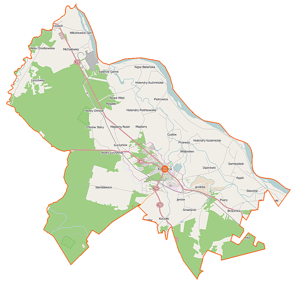
Polski: Mapa gminy Kozienice, Polska
English: Map of Gmina Kozienice, Poland |
|||||||||
| Date | ||||||||||
| Source | You may find a page on the OpenStreetMap wiki page for Kozienice (gmina) | |||||||||
| Creator |
OpenStreetMap contributors OpenStreetMap contributors |
|||||||||
| Permission (Reusing this file) |
OpenStreetMap data is available under the Open Database License (details). Map tiles are licensed under the Creative Commons Attribution-ShareAlike 2.0 license (CC-BY-SA 2.0).
This file is licensed under the Creative Commons Attribution-Share Alike 2.0 Generic license.
|
|||||||||
| Geotemporal data | ||||||||||
| Bounding box |
|
|||||||||
| Georeferencing | If inappropriate please set warp_status = skip to hide. | |||||||||
File history
Click on a date/time to view the file as it appeared at that time.
| Date/Time | Thumbnail | Dimensions | User | Comment | |
|---|---|---|---|---|---|
| current | 10:24, 12 September 2014 | | 1,019 × 975 (207 KB) | VanWiel (talk | contribs) | |
| 10:57, 25 July 2014 |  | 1,019 × 975 (224 KB) | VanWiel (talk | contribs) | {{OpenStreetMap | name = Kozienice (gmina) | location = Kozienice (gmina) | description = {{pl|Mapa gminy Kozienice, Polska}} {{en|Map of Gmina Kozienice, Poland}} | top = 51.7087 | left = 21.3547... |
You cannot overwrite this file.
File usage on Commons
There are no pages that use this file.
File usage on other wikis
The following other wikis use this file:
- Usage on bg.wikipedia.org
- Usage on pl.wikipedia.org
- Kozienice
- Enea Wytwarzanie
- Kozienice (gmina)
- Chinów
- Holendry Kozienickie
- Holendry Kuźmińskie
- Holendry Piotrkowskie
- Kępa Bielańska
- Kępa Wólczyńska
- Kępeczki
- Łaszówka
- Samwodzie
- Śmietanki (powiat kozienicki)
- Świerże Górne
- Wola Chodkowska
- Wólka Tyrzyńska
- Brzeźnica (województwo mazowieckie)
- Kociołki (województwo mazowieckie)
- Kuźmy (województwo mazowieckie)
- Majdany (województwo mazowieckie)
- Opatkowice (województwo mazowieckie)
- Ryczywół (województwo mazowieckie)
- Stanisławice (województwo mazowieckie)
- Staszów (województwo mazowieckie)
- Wilczkowice Górne (województwo mazowieckie)
- Aleksandrówka (powiat kozienicki)
- Janików (powiat kozienicki)
- Janów (powiat kozienicki)
- Łuczynów (powiat kozienicki)
- Nowa Wieś (powiat kozienicki)
- Nowiny (powiat kozienicki)
- Piotrkowice (powiat kozienicki)
- Przewóz (gmina Kozienice)
- Psary (powiat kozienicki)
- Ruda (powiat kozienicki)
- Wójtostwo (powiat kozienicki)
- Dąbrówki (gmina Kozienice)
- Wólka Tyrzyńska B
- Janików-Folwark
- Wymysłów (powiat kozienicki)
- Cudów
- Budy (Aleksandrówka)
- Katarzynów (Aleksandrówka)
- Cztery Kopce
- Michałówka (powiat kozienicki)
- Selwanówka
- Cmentarz żydowski w Kozienicach
- Kozienice (stacja kolejowa)
- Parafia Świętego Krzyża w Kozienicach
View more global usage of this file.
_location_map.png)
_location_map.png&oldid=519971347)