File:Krotoszyn location map.svg

Size of this PNG preview of this SVG file: 472 × 600 pixels. Other resolutions: 189 × 240 pixels | 378 × 480 pixels | 604 × 768 pixels | 806 × 1,024 pixels | 1,612 × 2,048 pixels | 894 × 1,136 pixels.
Original file (SVG file, nominally 894 × 1,136 pixels, file size: 602 KB)
Captions
Captions
Add a one-line explanation of what this file represents
| Description |
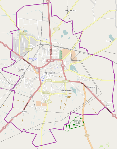
Polski: Mapa miasta Krotoszyn, Polska
English: Map of Krotoszyn, Poland |
|||||||||
| Date | ||||||||||
| Source | You may find a page on the OpenStreetMap wiki page for Krotoszyn | |||||||||
| Creator |
OpenStreetMap contributors OpenStreetMap contributors |
|||||||||
| Permission (Reusing this file) |
OpenStreetMap data is available under the Open Database License (details). Map tiles are licensed under the Creative Commons Attribution-ShareAlike 2.0 license (CC-BY-SA 2.0).
This file is licensed under the Creative Commons Attribution-Share Alike 2.0 Generic license.
|
|||||||||
| Geotemporal data | ||||||||||
| Bounding box |
|
|||||||||
| Georeferencing | If inappropriate please set warp_status = skip to hide. | |||||||||
File history
Click on a date/time to view the file as it appeared at that time.
| Date/Time | Thumbnail | Dimensions | User | Comment | |
|---|---|---|---|---|---|
| current | 07:44, 30 May 2014 | | 894 × 1,136 (602 KB) | VanWiel (talk | contribs) | {{OpenStreetMap | name = Krotoszyn | location = Krotoszyn | description = {{pl|Mapa miasta Krotoszyn, Polska}} {{en|Map of Krotoszyn, Poland}} | top = 51.7271 | left = 17.4033 | right = 1... |
You cannot overwrite this file.
File usage on Commons
There are no pages that use this file.
File usage on other wikis
The following other wikis use this file:
- Usage on fr.wikipedia.org
- Usage on pl.wikipedia.org
- Krotoszyn (stacja kolejowa)
- Krotoszyn Wąskotorowy
- Ratusz w Krotoszynie
- Dino Polska
- Parafia św. Apostołów Piotra i Pawła w Krotoszynie
- Parafia św. Jana Chrzciciela w Krotoszynie
- Parafia św. Andrzeja Boboli w Krotoszynie
- Parafia św. Marii Magdaleny w Krotoszynie
- Bazylika św. Jana Chrzciciela w Krotoszynie
- Zbór Kościoła Zielonoświątkowego „Charisma” w Krotoszynie
- Kościół Świętego Andrzeja Boboli w Krotoszynie
- Kościół Świętych Apostołów Piotra i Pawła w Krotoszynie
- Kościół św. Marii Magdaleny w Krotoszynie
- Kościół św. Fabiana, św. Rocha, św. Sebastiana w Krotoszynie
- Lądowisko Krotoszyn-Szpital
- Krotoszyn Stary
- Szaniec Pamięci Żołnierzy 56. Pułku Piechoty Wielkopolskiej
- Muzeum Regionalne im. Hieronima Ławniczaka w Krotoszynie
- Moduł:Mapa/dane/Krotoszyn
- Krzyż Katyński w Krotoszynie
- Stadion przy ul. Fabrycznej w Krotoszynie
- Pałac w Krotoszynie
- Usage on pl.wikibooks.org
- Usage on pt.wikipedia.org