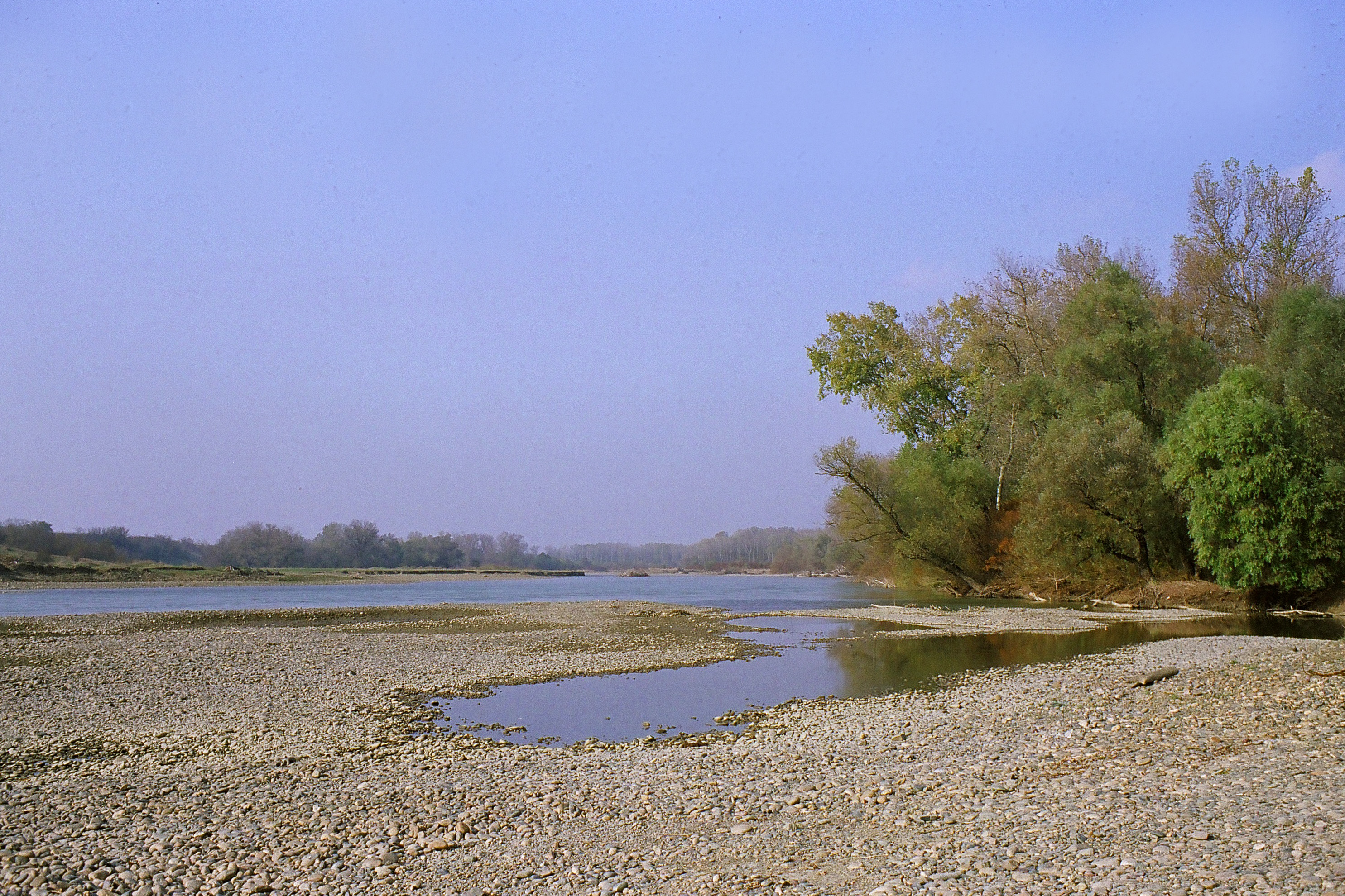
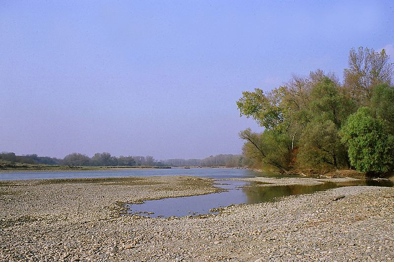
File:Kuban river near Ubezhenskaya - panoramio.jpg
Size of this preview: 800 × 533 pixels. Other resolutions: 320 × 213 pixels | 640 × 427 pixels | 1,024 × 683 pixels | 1,280 × 853 pixels | 2,970 × 1,980 pixels.
Original file (2,970 × 1,980 pixels, file size: 2.53 MB, MIME type: image/jpeg)
Captions
Captions
Add a one-line explanation of what this file represents
Summary
edit
| Description | Kuban River near Ubezhenskaya | ||
| Date | Taken on 4 November 2011 | ||
| Source | https://web.archive.org/web/20161102223157/http://www.panoramio.com/photo/61751805 | ||
| Author | Alexey Komarov | ||
| Permission (Reusing this file) |
This file is licensed under the Creative Commons Attribution 3.0 Unported license. Attribution: Alexey Komarov
|
||
| Tags (from Panoramio photo page) | Ubezhenskaya, 2011nov |
| Camera location | | View this and other nearby images on: OpenStreetMap |
|---|
File history
Click on a date/time to view the file as it appeared at that time.
| Date/Time | Thumbnail | Dimensions | User | Comment | |
|---|---|---|---|---|---|
| current | 04:35, 22 December 2016 | | 2,970 × 1,980 (2.53 MB) | Panoramio upload bot (talk | contribs) | == {{int:filedesc}} == {{Information |description=Kuban river near Ubezhenskaya |date={{Taken on|2011-11-04}} |source=http://www.panoramio.com/photo/61751805 |author=[http://www.panoramio.com/user/1770775?with_photo_id=61751805 Alexey Komarov] |permiss... |
You cannot overwrite this file.
File usage on Commons
There are no pages that use this file.