File:Löt Öland sydportal.JPG

Size of this preview: 450 × 600 pixels. Other resolutions: 180 × 240 pixels | 360 × 480 pixels | 576 × 768 pixels | 768 × 1,024 pixels | 1,536 × 2,048 pixels.
Original file (1,536 × 2,048 pixels, file size: 658 KB, MIME type: image/jpeg)
Captions
Captions
Add a one-line explanation of what this file represents
Summary
edit
| Description |
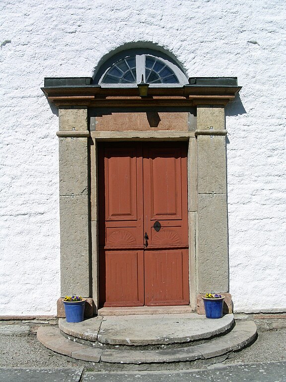
Svenska: Löts kyrka, södra porten |
| Date | |
| Source | Own work |
| Author | Taxelson |
| Camera location | | View this and other nearby images on: OpenStreetMap |
|---|
Licensing
edit
| I, the copyright holder of this work, release this work into the public domain. This applies worldwide. In some countries this may not be legally possible; if so: I grant anyone the right to use this work for any purpose, without any conditions, unless such conditions are required by law. |
File history
Click on a date/time to view the file as it appeared at that time.
| Date/Time | Thumbnail | Dimensions | User | Comment | |
|---|---|---|---|---|---|
| current | 09:05, 20 April 2009 | | 1,536 × 2,048 (658 KB) | Taxelson (talk | contribs) | == Beskrivning == {{Information |Description={{sv|1=Löts kyrka, södra porten}} |Source=Uppladdarens egna verk (uploader's own work) |Author=Taxelson |Date=2009-04-15 |Permission= |other_versions= }} {{location|56|55|5|N|16|50|17|E|head |
You cannot overwrite this file.
File usage on Commons
There are no pages that use this file.