File:L02 284 Strecke ELSt.jpg

Size of this preview: 800 × 533 pixels. Other resolutions: 320 × 213 pixels | 640 × 427 pixels | 1,024 × 683 pixels | 1,280 × 853 pixels | 2,560 × 1,707 pixels | 6,550 × 4,367 pixels.
Original file (6,550 × 4,367 pixels, file size: 6.78 MB, MIME type: image/jpeg)
Captions
Captions
Add a one-line explanation of what this file represents
Summary
edit
| Description |
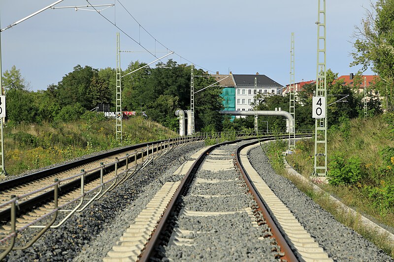
Deutsch: Richtung Nordnordost, links im Hintergrund liegt das erhaltene Widerlager des Kreuzungsbauwerkes Anger. Auf Höhe des Kamerastandortes lag das alte Planum rechts außerhalb des Bildausschnittes. Die eigentlich geplante, getrennte Führung der Strecken ELSt/6375 und 6371 wurde schon früh wieder gestrichen, wenig später auch das Kreuzungsbauwerk an der Abzw Anger. |
| Date | |
| Source | Own work |
| Author | Falk2 |
Licensing
edit
This file is licensed under the Creative Commons Attribution-Share Alike 4.0 International license.
- You are free:
- to share – to copy, distribute and transmit the work
- to remix – to adapt the work
- Under the following conditions:
- attribution – You must give appropriate credit, provide a link to the license, and indicate if changes were made. You may do so in any reasonable manner, but not in any way that suggests the licensor endorses you or your use.
- share alike – If you remix, transform, or build upon the material, you must distribute your contributions under the same or compatible license as the original.
File history
Click on a date/time to view the file as it appeared at that time.
| Date/Time | Thumbnail | Dimensions | User | Comment | |
|---|---|---|---|---|---|
| current | 01:45, 4 September 2023 | | 6,550 × 4,367 (6.78 MB) | Falk2 (talk | contribs) | {{Information |Beschreibung=Richtung Nordnordost, links im Hintergrund liegt das erhaltene Widerlager des Kreuzungsbauwerkes Anger. Auf Höhe des Kamerastandortes lag das alte Planum rechts außerhalb des Bildausschnittes. Die eigentlich geplante, getrennte Führung der Strecken ELSt/6375 und 6371 wurde schon früh wieder gestrichen, wenig später auch das Kreuzungsbauwerk an der Abzw Anger. |Quelle=eigenes Werk |Urheber=Falk2 |Datum=2023-09-03 16.52 |Genehmigung= |Andere Versionen= |… |
You cannot overwrite this file.
File usage on Commons
There are no pages that use this file.