File:LA2 Gävlebukten.png
Size of this preview: 800 × 541 pixels. Other resolutions: 320 × 216 pixels | 640 × 433 pixels | 1,024 × 693 pixels | 1,252 × 847 pixels.
Original file (1,252 × 847 pixels, file size: 365 KB, MIME type: image/png)
Captions
Captions
Add a one-line explanation of what this file represents
Summary
edit
| Description |
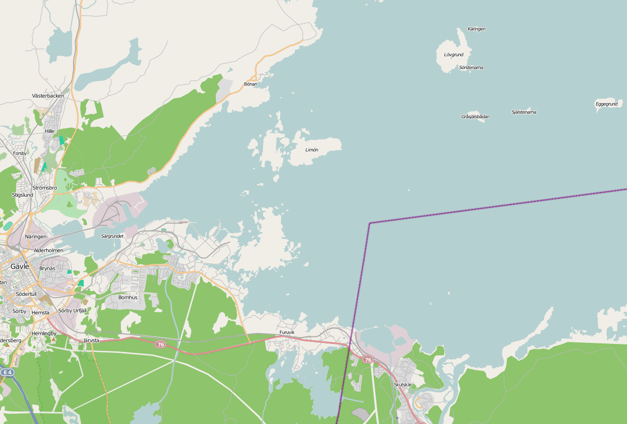
English: Map of Gävlebukten, bay of the Baltic Sea at Gävle (in the west).
|
| Date | |
| Source | Screenshot of OpenStreetMap Mapnik layer at Gävlebukten, Sweden |
| Author | Contributors to OpenStreetMap. Screenshot by LA2 |
| Permission (Reusing this file) |
Content is available under Creative Commons Attribution-ShareAlike 2.0 license. |
Licensing
edit
This file is licensed under the Creative Commons Attribution-Share Alike 3.0 Unported license.
- You are free:
- to share – to copy, distribute and transmit the work
- to remix – to adapt the work
- Under the following conditions:
- attribution – You must give appropriate credit, provide a link to the license, and indicate if changes were made. You may do so in any reasonable manner, but not in any way that suggests the licensor endorses you or your use.
- share alike – If you remix, transform, or build upon the material, you must distribute your contributions under the same or compatible license as the original.
File history
Click on a date/time to view the file as it appeared at that time.
| Date/Time | Thumbnail | Dimensions | User | Comment | |
|---|---|---|---|---|---|
| current | 04:04, 13 November 2009 | | 1,252 × 847 (365 KB) | LA2 (talk | contribs) | {{Information |Description={{en|1=Map of Gävlebukten, bay of the Baltic Sea at en:Gävle (in the west).}} {{sv|1=Karta över sv:Gävlebukten, en vik av Bottenhavet. I väster sv:Gävle, i söder sv:Skutskär.}} |Source=Screenshot |
You cannot overwrite this file.
File usage on Commons
The following page uses this file:
File usage on other wikis
The following other wikis use this file:
- Usage on ceb.wikipedia.org
- Usage on sv.wikipedia.org
- Usage on www.wikidata.org