File:LSTS 2749359170 ba07074f64 o.jpg
Size of this preview: 800 × 325 pixels. Other resolutions: 320 × 130 pixels | 640 × 260 pixels | 1,024 × 416 pixels | 1,280 × 520 pixels | 2,634 × 1,070 pixels.
Original file (2,634 × 1,070 pixels, file size: 539 KB, MIME type: image/jpeg)
Captions
Captions
Add a one-line explanation of what this file represents
Summary
edit
| Description |
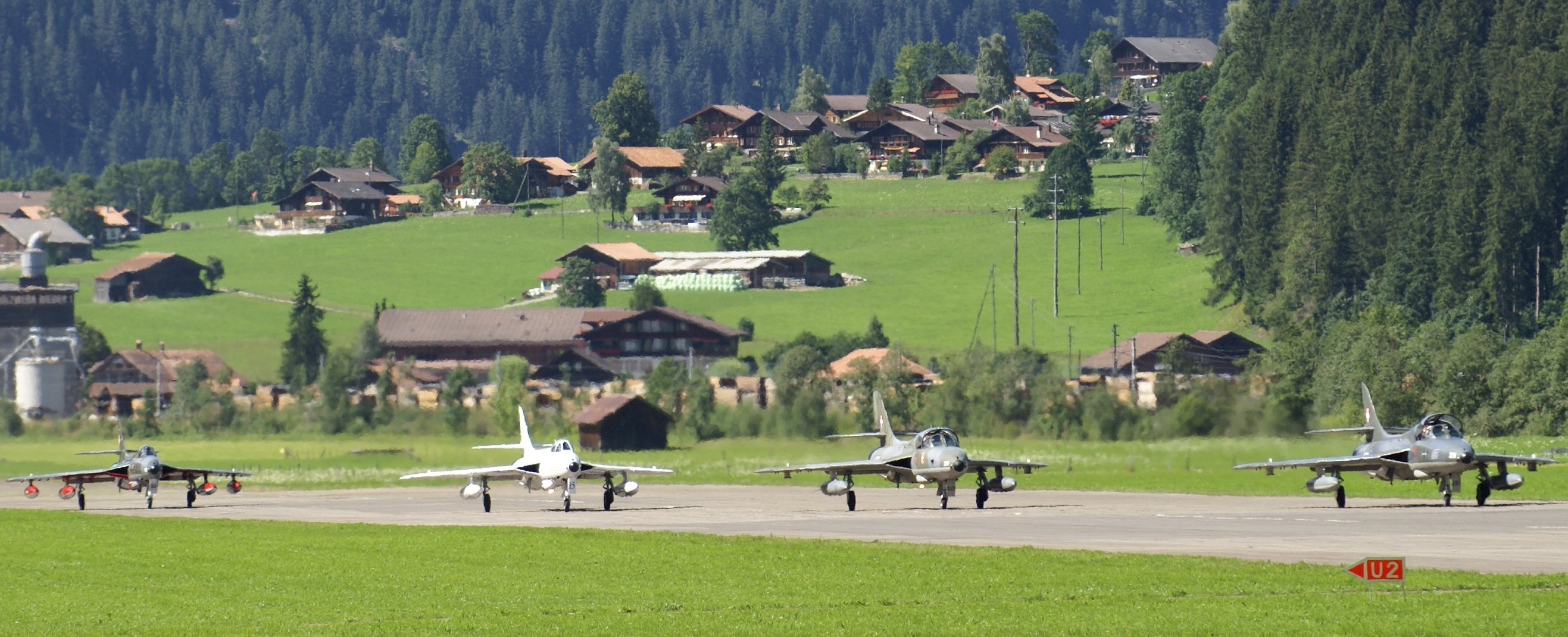
English: Hunters at St. Stephan airfield |
| Date | |
| Source | https://www.flickr.com/photos/stee/2749359170 |
| Author | Stefan Maurer |
| Camera location | | View this and other nearby images on: OpenStreetMap |
|---|
Licensing
edit
| This image was originally posted to Flickr by stee at https://www.flickr.com/photos/86931090@N00/2749359170. It was reviewed on 13 October 2014 by FlickreviewR and was confirmed to be licensed under the terms of the cc-by-sa-2.0. |
This file is licensed under the Creative Commons Attribution-Share Alike 2.0 Generic license.
- You are free:
- to share – to copy, distribute and transmit the work
- to remix – to adapt the work
- Under the following conditions:
- attribution – You must give appropriate credit, provide a link to the license, and indicate if changes were made. You may do so in any reasonable manner, but not in any way that suggests the licensor endorses you or your use.
- share alike – If you remix, transform, or build upon the material, you must distribute your contributions under the same or compatible license as the original.
File history
Click on a date/time to view the file as it appeared at that time.
| Date/Time | Thumbnail | Dimensions | User | Comment | |
|---|---|---|---|---|---|
| current | 08:00, 13 October 2014 | 2,634 × 1,070 (539 KB) | Glarnerwolf (talk | contribs) | User created page with UploadWizard |
You cannot overwrite this file.
File usage on Commons
The following page uses this file:
File usage on other wikis
The following other wikis use this file:
- Usage on de.wikipedia.org